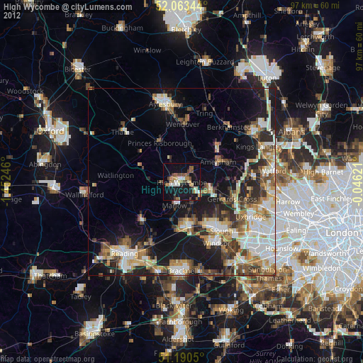
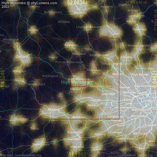
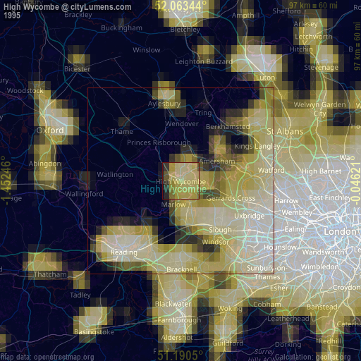
High Wycombe night lights from space
Night Light of High Wycombe (England) from space (United Kingdom) Src. Average luminocity for 10x10km area is 36.123% and for 50x50km: 27.3852%.
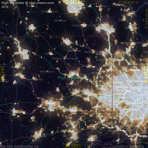
Analysis of High Wycombe night lights 2016
Square area 10x10 km:
 4.95%
4.95%90-99
5.21%80-89
4.28%70-79
3.74%60-69
5.21%50-59
5.48%40-49
5.48%30-39
3.07%20-29
18.45%10-19
36.23%0-9
7.89%Square area 50x50 km:
4.46%90-99
5.28%80-89
2.82%70-79
2.99%60-69
3.76%50-59
4.32%40-49
4.83%30-39
4.42%20-29
8.13%10-19
13.28%0-9
45.72%Clear (daylight) street map image can be seen on geolist.org.
Map coordinates:
52° 3' 48.4" North, 1° 27' 8.9" West
51° 37' 44.7" North, 0° 44' 57.6" West
51° 11' 25.8" North, 0° 2' 46.4" West
Some cities around High Wycombe sort by population:
• Maidenhead
12 km =7.5 mi,  170°
170°
• Amersham
10.1 km =6.3 mi,  65°
65°
• Marlow
6.9 km =4.3 mi,  194°
194°
• Amersham on the Hill
11 km =6.8 mi,  62°
62°
• Beaconsfield
7.3 km =4.5 mi,  104°
104°
• Great Missenden
8.8 km =5.5 mi,  18°
18°
• Cookham
8.3 km =5.2 mi,  159°
159°
• Bourne End
6.4 km =4 mi, 156°
2646914 (p: 133,204)
Sources (retrieved 2019-11-25):
» NASA, Earths city lights 1995
» NASA city lights 2003
» Earth at Night: Flat Maps 2012, 2016