Harrogate night lights from space
Night Light of Harrogate (England) from space (United Kingdom) Src. Average luminocity for 10x10km area is 22.5707% and for 50x50km: 16.2784%.
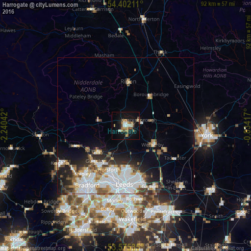
Analysis of Harrogate night lights 2016
Square area 10x10 km:
 1.39%
1.39%90-99
4.67%80-89
2.02%70-79
2.9%60-69
5.05%50-59
3.03%40-49
2.78%30-39
1.14%20-29
2.27%10-19
25%0-9
49.75%Square area 50x50 km:
4.77%90-99
3.69%80-89
1.16%70-79
1.31%60-69
1.78%50-59
1.62%40-49
1.72%30-39
1.88%20-29
2.89%10-19
6.44%0-9
72.75%Clear (daylight) street map image can be seen on geolist.org.
Map coordinates:
54° 24' 7.6" North, 2° 14' 25.5" West
53° 59' 26.8" North, 1° 32' 14.3" West
53° 34' 31.3" North, 0° 50' 3" West
Some cities around Harrogate sort by population:
• Yeadon
17.2 km =10.7 mi,  214°
214°
• Guiseley
17.2 km =10.7 mi,  221°
221°
• Ripon
16.1 km =10 mi,  2°
2°
• Knaresborough
4.9 km =3 mi,  65°
65°
• Otley
14 km =8.7 mi,  227°
227°
• Wetherby
12.1 km =7.5 mi,  125°
125°
• Boston Spa
15.8 km =9.8 mi, 127°
• Burley in Wharfedale
17 km =10.6 mi,  238°
238°
2647428 (p: 89,060)
Sources (retrieved 2019-11-25):
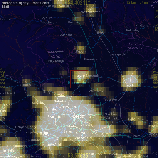
» NASA, Earths city lights 1995
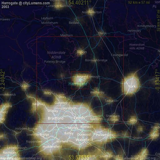
» NASA city lights 2003
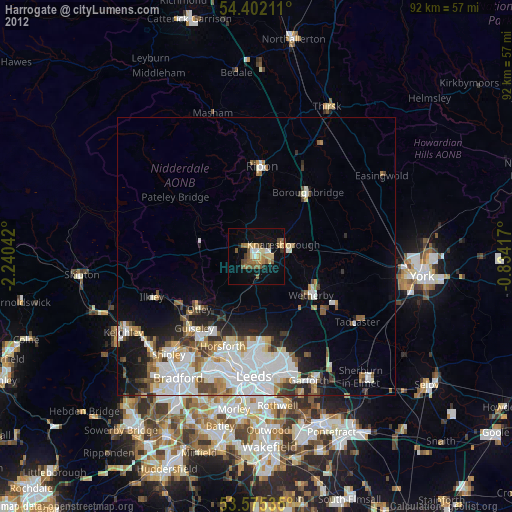
» Earth at Night: Flat Maps 2012, 2016