Guiseley night lights from space
Night Light of Guiseley (England) from space (United Kingdom) Src. Average luminocity for 10x10km area is 52.9114% and for 50x50km: 31.2236%.
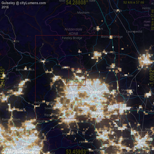
Analysis of Guiseley night lights 2016
Square area 10x10 km:
 9.13%
9.13%90-99
9.79%80-89
8.07%70-79
5.95%60-69
7.14%50-59
8.73%40-49
9.52%30-39
8.73%20-29
17.33%10-19
13.62%0-9
1.98%Square area 50x50 km:
8.61%90-99
7.54%80-89
2.62%70-79
3.25%60-69
4.09%50-59
3.89%40-49
3.65%30-39
3.84%20-29
4.13%10-19
7.31%0-9
51.07%Clear (daylight) street map image can be seen on geolist.org.
Map coordinates:
54° 17' 17.1" North, 2° 24' 55.6" West
53° 52' 32.2" North, 1° 42' 44.4" West
53° 27' 32.5" North, 1° 0' 33.1" West
Some cities around Guiseley sort by population:
• Yeadon
2.1 km =1.3 mi,  127°
127°
• Shipley
5.9 km =3.7 mi,  217°
217°
• Bingley
8.8 km =5.5 mi,  250°
250°
• Horsforth
6.1 km =3.8 mi, 126°
• Baildon
5.9 km =3.7 mi,  237°
237°
• Ilkley
9.1 km =5.7 mi,  306°
306°
• Otley
3.5 km =2.2 mi,  20°
20°
• Burley in Wharfedale
4.9 km =3 mi,  322°
322°
2647784 (p: 21,000)
Sources (retrieved 2019-11-25):
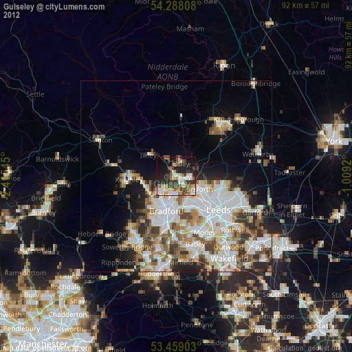
» Earth at Night: Flat Maps 2012, 2016