Bishops Stortford night lights from space
Night Light of Bishops Stortford (England) from space (United Kingdom) Src. Average luminocity for 10x10km area is 17.8207% and for 50x50km: 12.4106%.
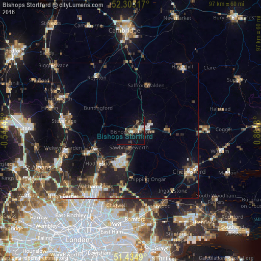
Analysis of Bishops Stortford night lights 2016
Square area 10x10 km:
 2.65%
2.65%90-99
2.15%80-89
1.01%70-79
0.51%60-69
2.02%50-59
1.89%40-49
4.92%30-39
5.18%20-29
1.14%10-19
25.38%0-9
53.16%Square area 50x50 km:
1.55%90-99
1.84%80-89
1.09%70-79
0.88%60-69
1.5%50-59
2.18%40-49
2.46%30-39
2.45%20-29
3.87%10-19
10.55%0-9
71.62%Clear (daylight) street map image can be seen on geolist.org.
Map coordinates:
52° 18' 11.4" North, 0° 32' 40" West
51° 52' 16.1" North, 0° 9' 31.2" East
51° 26' 5.6" North, 0° 51' 42.5" East
Some cities around Bishops Stortford sort by population:
• Harlow
11 km =6.8 mi,  197°
197°
• Hoddesdon
16.9 km =10.5 mi,  223°
223°
• Ware
14.5 km =9 mi,  242°
242°
• Saffron Walden
17.9 km =11.1 mi,  18°
18°
• Sawbridgeworth
6.1 km =3.8 mi,  185°
185°
• Great Dunmow
14 km =8.7 mi,  89°
89°
• Old Harlow
9.9 km =6.2 mi, 189°
• Stansted Mountfitchet
4.3 km =2.7 mi,  41°
41°
2655562 (p: 37,838)
Sources (retrieved 2019-11-25):
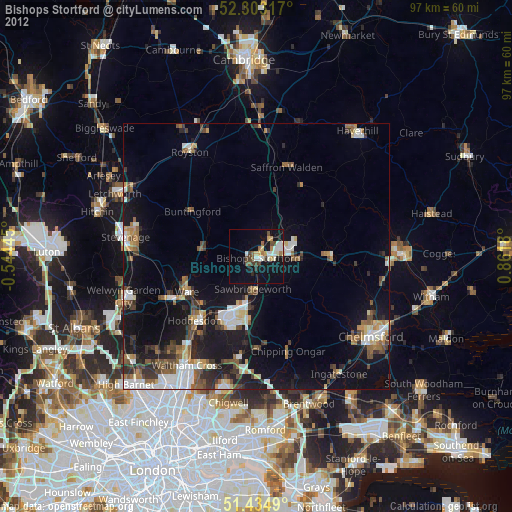
» Earth at Night: Flat Maps 2012, 2016