Great Sankey night lights from space
Night Light of Great Sankey (England) from space (United Kingdom) Src. Average luminocity for 10x10km area is 68.9061% and for 50x50km: 48.6774%.
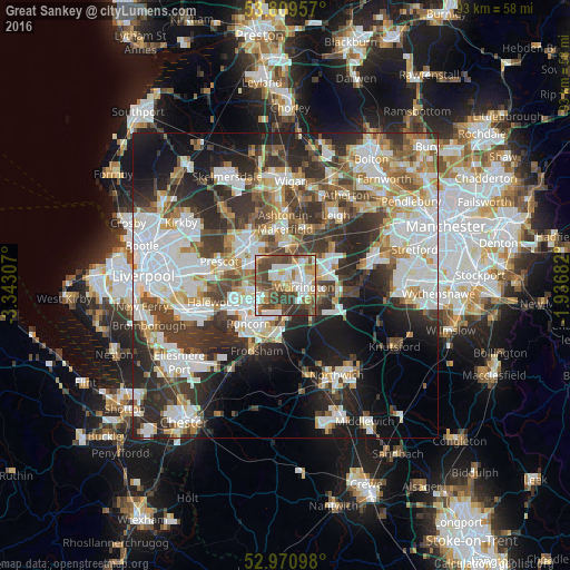
Analysis of Great Sankey night lights 2016
Square area 10x10 km:
 16.14%
90-99
15.74%80-89
8.07%70-79
7.8%60-69
9.66%50-59
11.64%40-49
19.58%30-39
8.6%20-29
2.78%10-19
0%0-9
0%Square area 50x50 km:
12.81%90-99
11.33%80-89
4.85%70-79
4.61%60-69
5.35%50-59
5.04%40-49
6.95%30-39
8.38%20-29
12.19%10-19
12.09%0-9
16.41%Clear (daylight) street map image can be seen on geolist.org.
Map coordinates:
53° 48' 34.5" North, 3° 20' 35.1" West
53° 23' 32.4" North, 2° 38' 23.8" West
52° 58' 15.5" North, 1° 56' 12.6" West
Some cities around Great Sankey sort by population:
• Warrington
4 km =2.5 mi,  89°
89°
• St Helens
8.9 km =5.5 mi,  316°
316°
• Runcorn
8.3 km =5.2 mi,  227°
227°
• Widnes
7.1 km =4.4 mi,  241°
241°
• Newton-le-Willows
6.9 km =4.3 mi,  22°
22°
• Haydock
8.8 km =5.5 mi,  341°
341°
• Grappenhall
6.6 km =4.1 mi,  110°
110°
• Stockton Heath
5 km =3.1 mi,  118°
118°
2648026 (p: 43,793)
Sources (retrieved 2019-11-25):
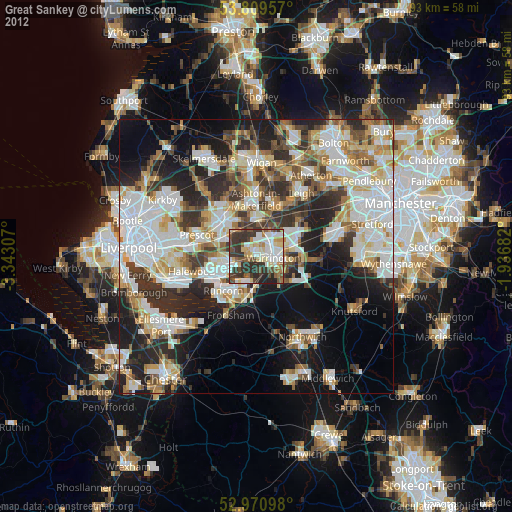
» Earth at Night: Flat Maps 2012, 2016