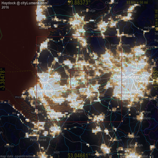
Haydock night lights from space
Night Light of Haydock (England) from space (United Kingdom) Src. Average luminocity for 10x10km area is 67.5238% and for 50x50km: 47.6666%.
Analysis of Haydock night lights 2016
Square area 10x10 km:
 12.83%
90-99
13.36%80-89
10.19%70-79
9.79%60-69
8.73%50-59
14.42%40-49
19.18%30-39
10.85%20-29
0.66%10-19
0%0-9
0%Square area 50x50 km:
11.52%90-99
10.92%80-89
4.65%70-79
4.55%60-69
5.59%50-59
5.25%40-49
7.02%30-39
8.24%20-29
12.15%10-19
15.97%0-9
14.13%Clear (daylight) street map image can be seen on geolist.org.
Map coordinates:
53° 53' 1.4" North, 3° 23' 5.2" West
53° 28' 2" North, 2° 40' 54" West
53° 2' 47.8" North, 1° 58' 42.7" West
Some cities around Haydock sort by population:
• St Helens
3.9 km =2.4 mi,  240°
240°
• Ashton in Makerfield
2.8 km =1.7 mi,  49°
49°
• Golborne
5.7 km =3.5 mi,  79°
79°
• Newton-le-Willows
5.7 km =3.5 mi,  109°
109°
• Ince-in-Makerfield
8.5 km =5.3 mi,  30°
30°
• Abram
7.5 km =4.7 mi, 52°
• Rainford
8.1 km =5 mi,  298°
298°
• Billinge
3.8 km =2.4 mi,  332°
332°
2647265 (p: 17,333)
Sources (retrieved 2019-11-25):
» Earth at Night: Flat Maps 2012, 2016