St Helens night lights from space
Night Light of St Helens (England) from space (United Kingdom) Src. Average luminocity for 10x10km area is 68.9392% and for 50x50km: 45.7262%.
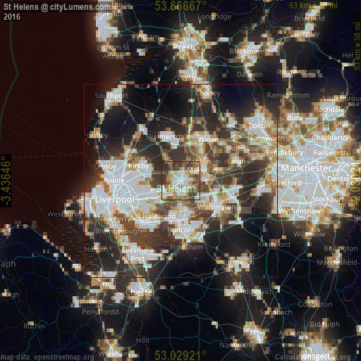
Analysis of St Helens night lights 2016
Square area 10x10 km:
 15.34%
90-99
16.53%80-89
7.8%70-79
8.99%60-69
10.32%50-59
12.04%40-49
14.81%30-39
10.45%20-29
3.7%10-19
0%0-9
0%Square area 50x50 km:
10.9%90-99
10.13%80-89
4.36%70-79
4.36%60-69
5.12%50-59
4.8%40-49
6.95%30-39
8.67%20-29
12.84%10-19
16.4%0-9
15.45%Clear (daylight) street map image can be seen on geolist.org.
Map coordinates:
53° 52' 0" North, 3° 26' 11.3" West
53° 27' 0" North, 2° 43' 60" West
53° 1' 45.2" North, 2° 1' 48.8" West
Some cities around St Helens sort by population:
• Huyton
8.2 km =5.1 mi,  238°
238°
• Great Sankey
8.9 km =5.5 mi,  136°
136°
• Prescot
5 km =3.1 mi, 242°
• Ashton in Makerfield
6.6 km =4.1 mi,  56°
56°
• Newton-le-Willows
8.8 km =5.5 mi,  90°
90°
• Haydock
3.9 km =2.4 mi, 60°
• Rainford
6.9 km =4.3 mi,  327°
327°
• Billinge
5.6 km =3.5 mi,  17°
17°
2638785 (p: 102,555)
Sources (retrieved 2019-11-25):
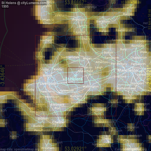
» NASA, Earths city lights 1995
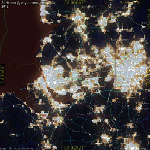
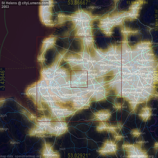
» NASA city lights 2003
» Earth at Night: Flat Maps 2012, 2016