Godmanchester night lights from space
Night Light of Godmanchester (England) from space (United Kingdom) Src. Average luminocity for 10x10km area is 18.1212% and for 50x50km: 8.8795%.
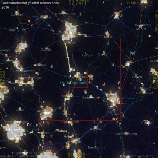
Analysis of Godmanchester night lights 2016
Square area 10x10 km:
 1.64%
1.64%90-99
3.16%80-89
1.39%70-79
1.77%60-69
2.27%50-59
2.02%40-49
3.16%30-39
2.53%20-29
1.89%10-19
21.21%0-9
58.96%Square area 50x50 km:
0.91%90-99
1.2%80-89
1.09%70-79
0.91%60-69
1.25%50-59
1.38%40-49
1.23%30-39
1.1%20-29
2.08%10-19
7.42%0-9
81.42%Clear (daylight) street map image can be seen on geolist.org.
Map coordinates:
52° 44' 49.6" North, 0° 52' 41.6" West
52° 19' 9.8" North, 0° 10' 30.3" West
51° 53' 15" North, 0° 31' 40.9" East
Some cities around Godmanchester sort by population:
• Saint Neots
13 km =8.1 mi,  208°
208°
• Huntingdon
1.5 km =0.9 mi,  327°
327°
• Eaton Socon
13.7 km =8.5 mi, 214°
• Cambourne
13 km =8.1 mi,  146°
146°
• Ramsey
15.3 km =9.5 mi,  17°
17°
• Histon
20.6 km =12.8 mi,  111°
111°
• Cottenham
20.7 km =12.9 mi,  99°
99°
• Sawtry
15.3 km =9.5 mi, 331°
2648370 (p: 6,506)
Sources (retrieved 2019-11-25):
» Earth at Night: Flat Maps 2012, 2016