Huntingdon night lights from space
Night Light of Huntingdon (England) from space (United Kingdom) Src. Average luminocity for 10x10km area is 23.2513% and for 50x50km: 8.9988%.
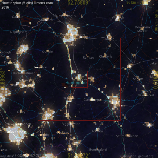
Analysis of Huntingdon night lights 2016
Square area 10x10 km:
 2.9%
2.9%90-99
4.67%80-89
1.89%70-79
3.54%60-69
2.15%50-59
2.65%40-49
2.9%30-39
2.78%20-29
2.15%10-19
25.38%0-9
48.99%Square area 50x50 km:
1.04%90-99
1.3%80-89
1.08%70-79
0.94%60-69
1.26%50-59
1.3%40-49
1.23%30-39
1.05%20-29
1.93%10-19
7.09%0-9
81.77%Clear (daylight) street map image can be seen on geolist.org.
Map coordinates:
52° 45' 29.1" North, 0° 53' 22.7" West
52° 19' 49.8" North, 0° 11' 11.4" West
51° 53' 55.4" North, 0° 30' 59.8" East
Some cities around Huntingdon sort by population:
• Saint Neots
13.8 km =8.6 mi,  203°
203°
• Eaton Socon
14.4 km =8.9 mi,  209°
209°
• Chatteris
21.4 km =13.3 mi,  49°
49°
• Yaxley
21.4 km =13.3 mi,  346°
346°
• Cambourne
14.5 km =9 mi,  146°
146°
• Ramsey
14.3 km =8.9 mi,  21°
21°
• Godmanchester
1.5 km =0.9 mi, 147°
• Sawtry
13.8 km =8.6 mi,  331°
331°
2646393 (p: 23,937)
Sources (retrieved 2019-11-25):
» Earth at Night: Flat Maps 2012, 2016