Saint Neots night lights from space
Night Light of Saint Neots (England) from space (United Kingdom) Src. Average luminocity for 10x10km area is 16.1759% and for 50x50km: 8.4%.
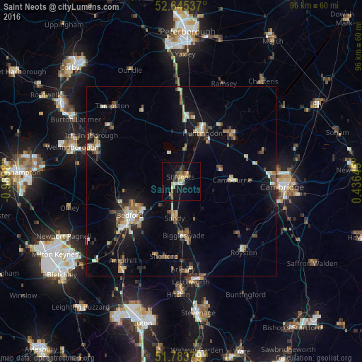
Analysis of Saint Neots night lights 2016
Square area 10x10 km:
 1.19%
1.19%90-99
1.19%80-89
2.78%70-79
2.12%60-69
3.31%50-59
1.72%40-49
2.65%30-39
1.32%20-29
2.78%10-19
15.74%0-9
65.21%Square area 50x50 km:
0.65%90-99
0.97%80-89
1.06%70-79
0.95%60-69
1.14%50-59
1.1%40-49
1.3%30-39
1.19%20-29
1.61%10-19
6.92%0-9
83.11%Clear (daylight) street map image can be seen on geolist.org.
Map coordinates:
52° 38' 43.3" North, 0° 58' 11.3" West
52° 13' 0" North, 0° 16' 0" West
51° 47' 1.6" North, 0° 26' 11.2" East
Some cities around Saint Neots sort by population:
• Bedford
16.4 km =10.2 mi,  236°
236°
• Huntingdon
13.8 km =8.6 mi,  23°
23°
• Kempston
19.5 km =12.1 mi,  234°
234°
• Biggleswade
14.5 km =9 mi,  179°
179°
• Eaton Socon
1.5 km =0.9 mi,  273°
273°
• Sandy
9.8 km =6.1 mi,  189°
189°
• Cambourne
13.4 km =8.3 mi,  87°
87°
• Godmanchester
13 km =8.1 mi,  28°
28°
2638717 (p: 30,811)
Sources (retrieved 2019-11-25):
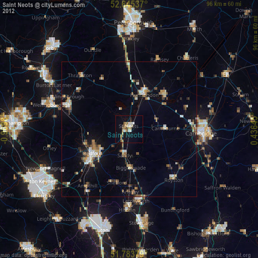
» Earth at Night: Flat Maps 2012, 2016