Gerrards Cross night lights from space
Night Light of Gerrards Cross (England) from space (United Kingdom) Src. Average luminocity for 10x10km area is 40.6698% and for 50x50km: 45.8047%.
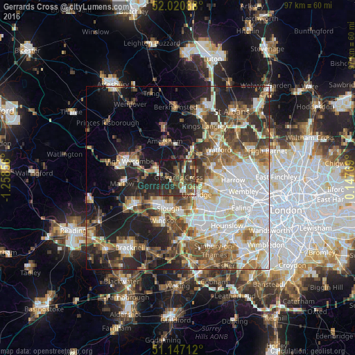
Analysis of Gerrards Cross night lights 2016
Square area 10x10 km:
 2.54%
2.54%90-99
4.81%80-89
2.94%70-79
2.94%60-69
6.28%50-59
8.82%40-49
13.64%30-39
18.45%20-29
19.92%10-19
19.39%0-9
0.27%Square area 50x50 km:
11.3%90-99
10.1%80-89
4.47%70-79
4.48%60-69
6.17%50-59
6.57%40-49
6.51%30-39
6.18%20-29
10.02%10-19
13.29%0-9
20.91%Clear (daylight) street map image can be seen on geolist.org.
Map coordinates:
52° 1' 15.2" North, 1° 15' 30.8" West
51° 35' 10" North, 0° 33' 19.5" West
51° 8' 49.6" North, 0° 8' 51.7" East
Some cities around Gerrards Cross sort by population:
• Chalfont Saint Peter
2.5 km =1.6 mi,  358°
358°
• Beaconsfield
7 km =4.3 mi,  294°
294°
• Rickmansworth
8 km =5 mi,  42°
42°
• Chorleywood
8.1 km =5 mi,  20°
20°
• Iver Heath
6.1 km =3.8 mi,  154°
154°
• Chalfont St Giles
5.2 km =3.2 mi,  348°
348°
• Harefield
5.2 km =3.2 mi,  68°
68°
• Farnham Royal
6.4 km =4 mi,  220°
220°
6620444 (p: 20,633)
Sources (retrieved 2019-11-25):
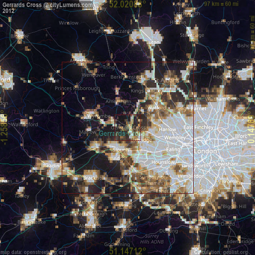
» Earth at Night: Flat Maps 2012, 2016