Chalfont Saint Peter night lights from space
Night Light of Chalfont Saint Peter (England) from space (United Kingdom) Src. Average luminocity for 10x10km area is 36.1176% and for 50x50km: 44.679%.
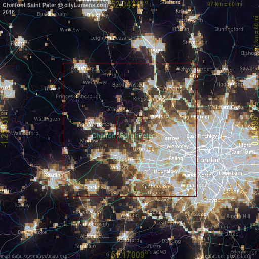
Analysis of Chalfont Saint Peter night lights 2016
Square area 10x10 km:
 1.74%
1.74%90-99
3.88%80-89
3.07%70-79
2.94%60-69
6.15%50-59
6.42%40-49
12.83%30-39
12.7%20-29
16.44%10-19
31.02%0-9
2.81%Square area 50x50 km:
11.24%90-99
10.08%80-89
4.35%70-79
4.25%60-69
5.78%50-59
6.24%40-49
6.16%30-39
5.9%20-29
9.46%10-19
13.32%0-9
23.22%Clear (daylight) street map image can be seen on geolist.org.
Map coordinates:
52° 2' 36.3" North, 1° 15' 33.5" West
51° 36' 31.9" North, 0° 33' 22.2" West
51° 10' 12.3" North, 0° 8' 49" East
Some cities around Chalfont Saint Peter sort by population:
• Amersham
7.7 km =4.8 mi,  327°
327°
• Gerrards Cross
2.5 km =1.6 mi,  178°
178°
• Amersham on the Hill
8.1 km =5 mi, 334°
• Beaconsfield
6.3 km =3.9 mi,  273°
273°
• Rickmansworth
6.4 km =4 mi,  58°
58°
• Chorleywood
5.9 km =3.7 mi,  29°
29°
• Iver Heath
8.5 km =5.3 mi,  161°
161°
• Harefield
4.9 km =3 mi,  97°
97°
2653393 (p: 20,059)
Sources (retrieved 2019-11-25):
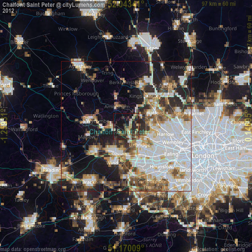
» Earth at Night: Flat Maps 2012, 2016