Lincoln night lights from space
Night Light of Lincoln (England) from space (United Kingdom) Src. Average luminocity for 10x10km area is 32.4621% and for 50x50km: 4.6522%.
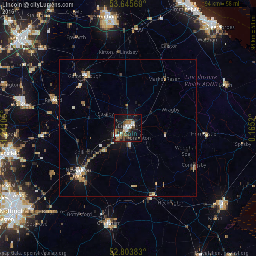
Analysis of Lincoln night lights 2016
Square area 10x10 km:
 4.8%
4.8%90-99
5.05%80-89
1.52%70-79
2.65%60-69
4.8%50-59
7.7%40-49
6.69%30-39
6.06%20-29
6.19%10-19
31.31%0-9
23.23%Square area 50x50 km:
0.49%90-99
0.64%80-89
0.38%70-79
0.61%60-69
0.55%50-59
0.76%40-49
0.76%30-39
0.57%20-29
0.85%10-19
3.79%0-9
90.6%Clear (daylight) street map image can be seen on geolist.org.
Map coordinates:
53° 38' 44.5" North, 1° 14' 27.8" West
53° 13' 36.6" North, 0° 32' 16.5" West
52° 48' 13.8" North, 0° 9' 54.7" East
Some cities around Lincoln sort by population:
• Newark on Trent
25.7 km =16 mi,  226°
226°
• Gainsborough
23.1 km =14.4 mi,  318°
318°
• Sleaford
26.8 km =16.7 mi,  161°
161°
• Washingborough
4.2 km =2.6 mi,  93°
93°
• Heighington
5.5 km =3.4 mi,  106°
106°
• Bracebridge Heath
3.4 km =2.1 mi,  175°
175°
• Ruskington
22.5 km =14 mi,  153°
153°
• Dunholme
9.5 km =5.9 mi,  30°
30°
2644487 (p: 114,879)
Sources (retrieved 2019-11-25):
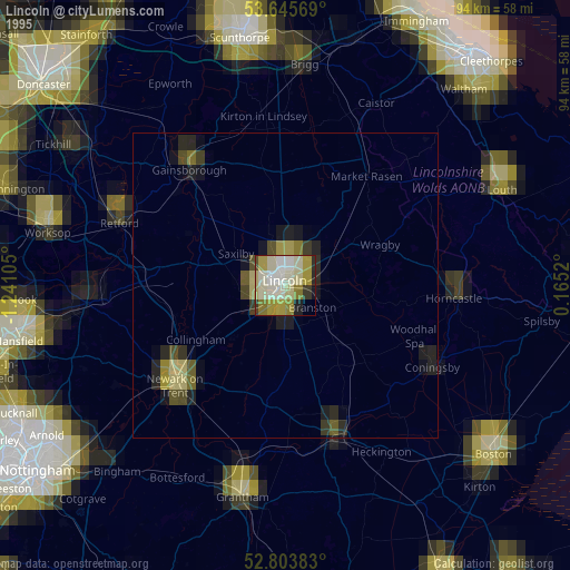
» NASA, Earths city lights 1995
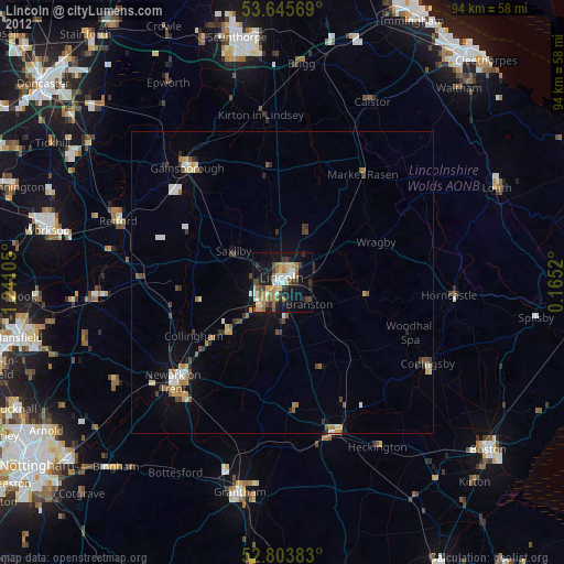
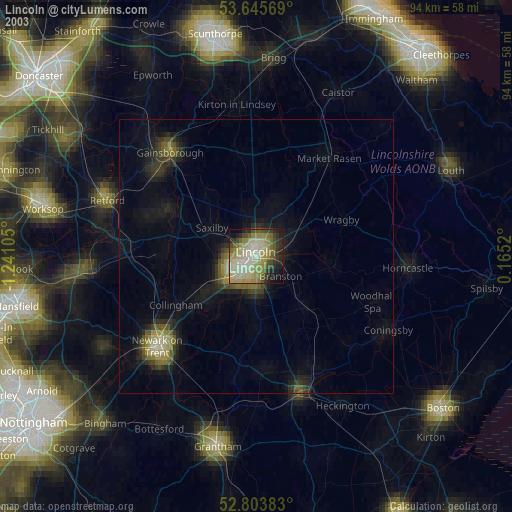
» NASA city lights 2003
» Earth at Night: Flat Maps 2012, 2016