Frimley night lights from space
Night Light of Frimley (England) from space (United Kingdom) Src. Average luminocity for 10x10km area is 44.5434% and for 50x50km: 25.9516%.
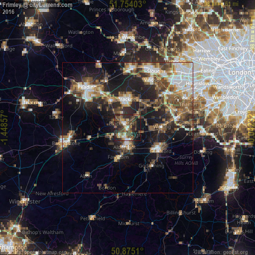
Analysis of Frimley night lights 2016
Square area 10x10 km:
 3.92%
3.92%90-99
6.44%80-89
2.66%70-79
5.6%60-69
7.14%50-59
7%40-49
20.17%30-39
10.92%20-29
18.49%10-19
16.39%0-9
1.26%Square area 50x50 km:
3.89%90-99
4.36%80-89
2.16%70-79
2.92%60-69
3.54%50-59
4.69%40-49
5.71%30-39
4.71%20-29
7.71%10-19
14.73%0-9
45.58%Clear (daylight) street map image can be seen on geolist.org.
Map coordinates:
51° 45' 14.5" North, 1° 26' 54.9" West
51° 19' 0" North, 0° 44' 43.6" West
50° 52' 30.4" North, 0° 2' 32.4" West
Some cities around Frimley sort by population:
• Aldershot
7.7 km =4.8 mi,  189°
189°
• Farnborough
2.6 km =1.6 mi,  195°
195°
• Fleet
7.1 km =4.4 mi,  238°
238°
• Camberley
2.3 km =1.4 mi,  4°
4°
• Crowthorne
6.8 km =4.2 mi,  331°
331°
• Yateley
6.6 km =4.1 mi,  296°
296°
• Lightwater
6.2 km =3.9 mi,  55°
55°
• Bagshot
6.3 km =3.9 mi,  39°
39°
2649052 (p: 12,739)
Sources (retrieved 2019-11-25):
» Earth at Night: Flat Maps 2012, 2016