Camberley night lights from space
Night Light of Camberley (England) from space (United Kingdom) Src. Average luminocity for 10x10km area is 41.3529% and for 50x50km: 27.436%.
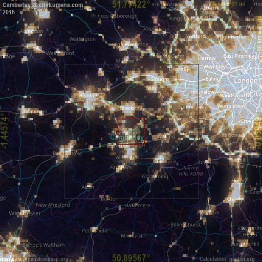
Analysis of Camberley night lights 2016
Square area 10x10 km:
 2.38%
2.38%90-99
3.22%80-89
3.08%70-79
4.2%60-69
6.16%50-59
7.56%40-49
20.73%30-39
13.73%20-29
25.77%10-19
12.89%0-9
0.28%Square area 50x50 km:
4.26%90-99
4.7%80-89
2.23%70-79
3.14%60-69
3.63%50-59
4.83%40-49
5.85%30-39
5.09%20-29
8.5%10-19
14.95%0-9
42.83%Clear (daylight) street map image can be seen on geolist.org.
Map coordinates:
51° 46' 27.2" North, 1° 26' 44.7" West
51° 20' 13.4" North, 0° 44' 33.4" West
50° 53' 44.4" North, 0° 2' 22.2" West
Some cities around Camberley sort by population:
• Bracknell
8.5 km =5.3 mi,  356°
356°
• Farnborough
4.8 km =3 mi,  190°
190°
• Fleet
8.7 km =5.4 mi,  226°
226°
• Crowthorne
5 km =3.1 mi,  317°
317°
• Yateley
6.1 km =3.8 mi,  276°
276°
• Frimley
2.3 km =1.4 mi,  184°
184°
• Lightwater
5.1 km =3.2 mi,  75°
75°
• Bagshot
4.6 km =2.9 mi,  55°
55°
2653947 (p: 30,155)
Sources (retrieved 2019-11-25):
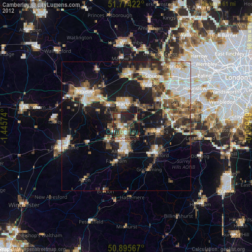
» Earth at Night: Flat Maps 2012, 2016