Crowthorne night lights from space
Night Light of Crowthorne (England) from space (United Kingdom) Src. Average luminocity for 10x10km area is 44.5182% and for 50x50km: 26.4094%.
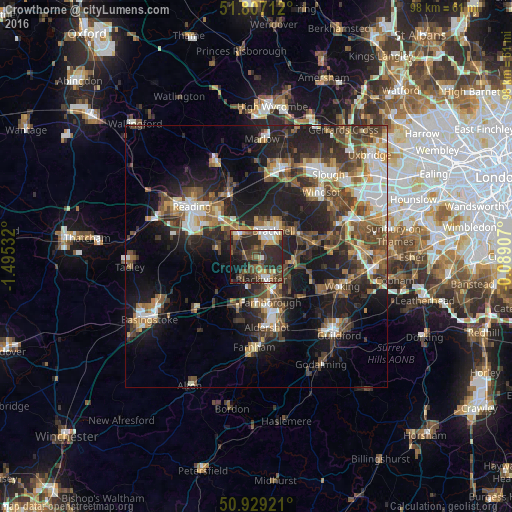
Analysis of Crowthorne night lights 2016
Square area 10x10 km:
 5.6%
5.6%90-99
6.02%80-89
3.08%70-79
5.74%60-69
6.16%50-59
7.56%40-49
11.48%30-39
10.64%20-29
29.97%10-19
11.48%0-9
2.24%Square area 50x50 km:
3.51%90-99
4%80-89
2.04%70-79
3.03%60-69
3.86%50-59
4.67%40-49
5.98%30-39
5.43%20-29
9.16%10-19
16.07%0-9
42.27%Clear (daylight) street map image can be seen on geolist.org.
Map coordinates:
51° 48' 25.6" North, 1° 29' 43.2" West
51° 22' 13" North, 0° 47' 31.9" West
50° 55' 45.2" North, 0° 5' 20.7" West
Some cities around Crowthorne sort by population:
• Bracknell
5.6 km =3.5 mi,  30°
30°
• Farnborough
8.8 km =5.5 mi,  163°
163°
• Wokingham
5.5 km =3.4 mi,  326°
326°
• Camberley
5 km =3.1 mi,  137°
137°
• Yateley
4 km =2.5 mi,  220°
220°
• Frimley
6.8 km =4.2 mi,  151°
151°
• Lightwater
8.7 km =5.4 mi,  106°
106°
• Bagshot
7.3 km =4.5 mi,  98°
98°
2651831 (p: 25,522)
Sources (retrieved 2019-11-25):
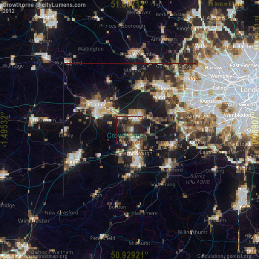
» Earth at Night: Flat Maps 2012, 2016