Clacton-on-Sea night lights from space
Night Light of Clacton-on-Sea (England) from space (United Kingdom) Src. Average luminocity for 10x10km area is 10.6246% and for 50x50km: 3.7026%.
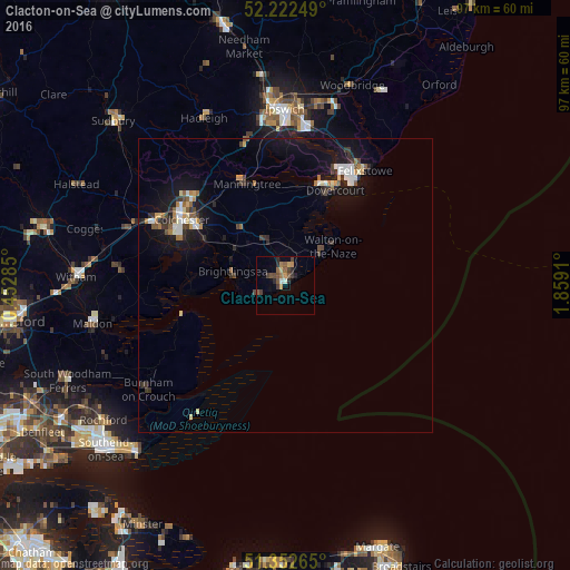
Analysis of Clacton-on-Sea night lights 2016
Square area 10x10 km:
 0.42%
0.42%90-99
0.7%80-89
0.84%70-79
1.82%60-69
1.96%50-59
2.66%40-49
2.24%30-39
2.8%20-29
2.94%10-19
0.42%0-9
83.19%Square area 50x50 km:
0.43%90-99
0.54%80-89
0.29%70-79
0.32%60-69
0.48%50-59
0.48%40-49
0.4%30-39
0.73%20-29
0.69%10-19
3.7%0-9
91.93%Clear (daylight) street map image can be seen on geolist.org.
Map coordinates:
52° 13' 21" North, 0° 27' 10.3" East
51° 47' 22.8" North, 1° 9' 21.5" East
51° 21' 9.5" North, 1° 51' 32.8" East
Some cities around Clacton-on-Sea sort by population:
• Colchester
20.5 km =12.7 mi,  302°
302°
• Harwich
19.1 km =11.9 mi,  27°
27°
• Walton-on-the-Naze
10 km =6.2 mi,  49°
49°
• Frinton-on-Sea
7.6 km =4.7 mi, 53°
• Wivenhoe
15.5 km =9.6 mi, 298°
• Brightlingsea
9.4 km =5.8 mi,  284°
284°
• West Mersea
16.4 km =10.2 mi,  265°
265°
• Manningtree
18.5 km =11.5 mi,  339°
339°
2652974 (p: 50,548)
Sources (retrieved 2019-11-25):
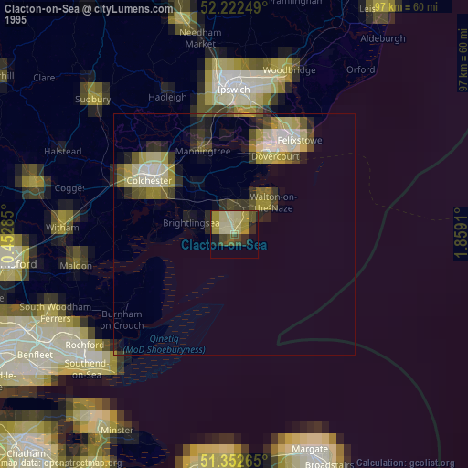
» NASA, Earths city lights 1995
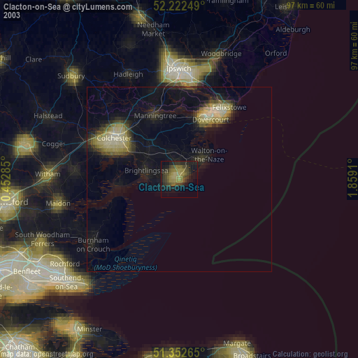
» NASA city lights 2003
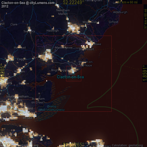
» Earth at Night: Flat Maps 2012, 2016