Frinton-on-Sea night lights from space
Night Light of Frinton-on-Sea (England) from space (United Kingdom) Src. Average luminocity for 10x10km area is 2.3165% and for 50x50km: 4.2675%.
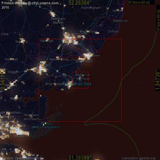
Analysis of Frinton-on-Sea night lights 2016
Square area 10x10 km:
 0%
0%90-99
0%80-89
0%70-79
0.28%60-69
0%50-59
0.14%40-49
1.26%30-39
1.4%20-29
0.98%10-19
0.42%0-9
95.52%Square area 50x50 km:
0.61%90-99
0.66%80-89
0.33%70-79
0.38%60-69
0.59%50-59
0.58%40-49
0.54%30-39
0.68%20-29
0.78%10-19
3.78%0-9
91.07%Clear (daylight) street map image can be seen on geolist.org.
Map coordinates:
52° 15' 46.9" North, 0° 32' 28" East
51° 49' 50.2" North, 1° 14' 39.3" East
51° 23' 38.4" North, 1° 56' 50.5" East
Some cities around Frinton-on-Sea sort by population:
• Clacton-on-Sea
7.6 km =4.7 mi,  233°
233°
• Felixstowe
16.5 km =10.3 mi,  26°
26°
• Harwich
12.7 km =7.9 mi,  12°
12°
• Walton-on-the-Naze
2.5 km =1.6 mi,  39°
39°
• Wivenhoe
19.9 km =12.4 mi,  278°
278°
• Brightlingsea
15.3 km =9.5 mi,  262°
262°
• West Mersea
23.1 km =14.4 mi, 255°
• Manningtree
17.9 km =11.1 mi,  315°
315°
2649049 (p: 16,941)
Sources (retrieved 2019-11-25):
» Earth at Night: Flat Maps 2012, 2016