Bolton night lights from space
Night Light of Bolton (England) from space (United Kingdom) Src. Average luminocity for 10x10km area is 63.1376% and for 50x50km: 51.0429%.
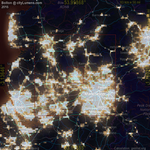
Analysis of Bolton night lights 2016
Square area 10x10 km:
 13.89%
90-99
14.52%80-89
9.09%70-79
6.94%60-69
13.89%50-59
7.95%40-49
5.43%30-39
5.18%20-29
16.16%10-19
6.94%0-9
0%Square area 50x50 km:
13.37%90-99
11.82%80-89
5.05%70-79
5.71%60-69
6.73%50-59
5.96%40-49
6.51%30-39
6.48%20-29
9.89%10-19
14.12%0-9
14.36%Clear (daylight) street map image can be seen on geolist.org.
Map coordinates:
53° 59' 55.2" North, 3° 8' 11.3" West
53° 34' 60" North, 2° 25' 60" West
53° 9' 49.9" North, 1° 43' 48.8" West
Some cities around Bolton sort by population:
• Walkden
7.7 km =4.8 mi,  163°
163°
• Radcliffe
7.6 km =4.7 mi,  108°
108°
• Westhoughton
7.1 km =4.4 mi,  237°
237°
• Farnworth
4.3 km =2.7 mi,  149°
149°
• Little Lever
4.3 km =2.7 mi,  121°
121°
• Little Hulton
5.7 km =3.5 mi,  168°
168°
• Kearsley
6.5 km =4 mi, 149°
• Tottington
7 km =4.3 mi,  61°
61°
2655237 (p: 141,331)
Sources (retrieved 2019-11-25):
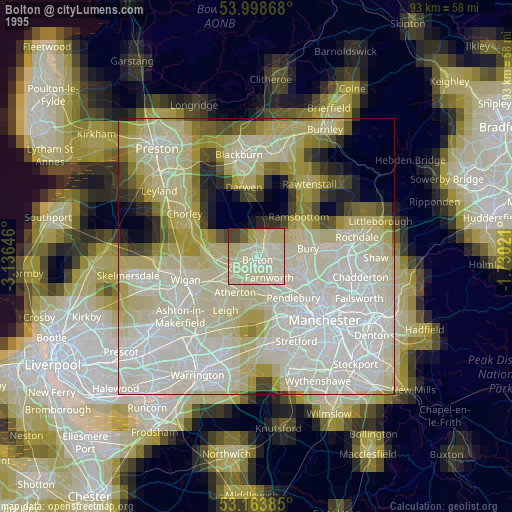
» NASA, Earths city lights 1995
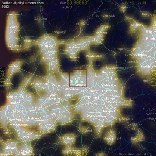
» NASA city lights 2003
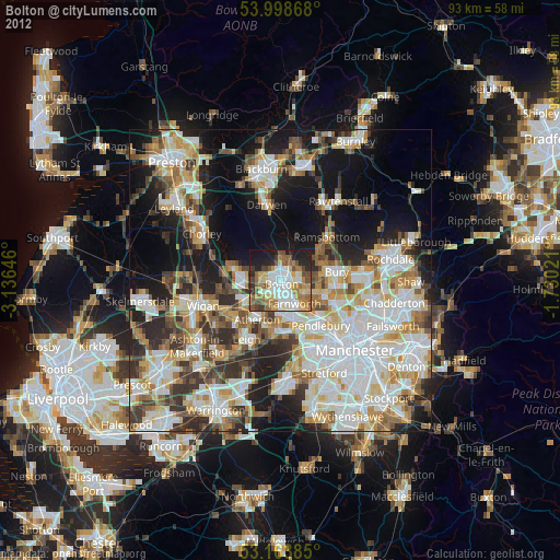
» Earth at Night: Flat Maps 2012, 2016