Sheffield night lights from space
Night Light of Sheffield (England) from space (United Kingdom) Src. Average luminocity for 10x10km area is 84.4775% and for 50x50km: 24.8843%.
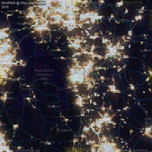
Analysis of Sheffield night lights 2016
Square area 10x10 km:
 29.63%
90-99
32.41%80-89
8.6%70-79
7.14%60-69
7.54%50-59
5.03%40-49
2.91%30-39
2.12%20-29
4.37%10-19
0.26%0-9
0%Square area 50x50 km:
4.06%90-99
4.78%80-89
2.43%70-79
2.76%60-69
2.73%50-59
3.05%40-49
3.5%30-39
5.07%20-29
9.96%10-19
15.32%0-9
46.34%Clear (daylight) street map image can be seen on geolist.org.
Map coordinates:
53° 48' 1.1" North, 2° 10' 8.5" West
53° 22' 58.7" North, 1° 27' 57.2" West
52° 57' 41.4" North, 0° 45' 46" West
Some cities around Sheffield sort by population:
• Rotherham
8.9 km =5.5 mi,  54°
54°
• Burngreave
1.2 km =0.7 mi,  25°
25°
• Chapeltown
9.1 km =5.7 mi,  357°
357°
• Dronfield
9 km =5.6 mi,  183°
183°
• Rawmarsh
11.8 km =7.3 mi,  43°
43°
• Hoyland Nether
13.1 km =8.1 mi,  4°
4°
• Beighton
10.4 km =6.5 mi,  122°
122°
• Killamarsh
11.9 km =7.4 mi, 123°
2638077 (p: 685,368)
Sources (retrieved 2019-11-25):
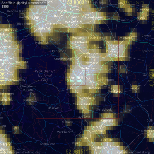
» NASA, Earths city lights 1995
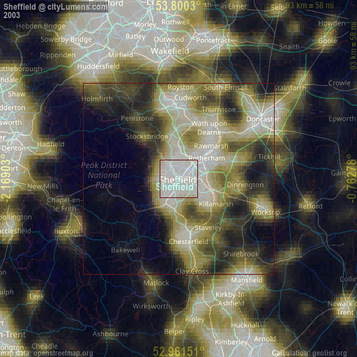
» NASA city lights 2003
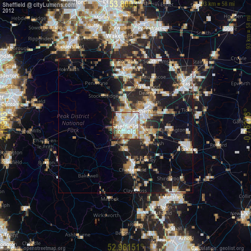
» Earth at Night: Flat Maps 2012, 2016