Burngreave night lights from space
Night Light of Burngreave (England) from space (United Kingdom) Src. Average luminocity for 10x10km area is 88.1204% and for 50x50km: 25.3089%.
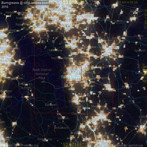
Analysis of Burngreave night lights 2016
Square area 10x10 km:
 31.75%
90-99
34.79%80-89
8.99%70-79
9.92%60-69
5.95%50-59
3.7%40-49
1.19%30-39
1.98%20-29
1.72%10-19
0%0-9
0%Square area 50x50 km:
4.12%90-99
4.78%80-89
2.45%70-79
2.74%60-69
2.74%50-59
3.14%40-49
3.58%30-39
5.24%20-29
10.48%10-19
15.73%0-9
45%Clear (daylight) street map image can be seen on geolist.org.
Map coordinates:
53° 48' 36.9" North, 2° 9' 39.6" West
53° 23' 34.9" North, 1° 27' 28.4" West
52° 58' 18" North, 0° 45' 17.1" West
Some cities around Burngreave sort by population:
• Sheffield
1.2 km =0.7 mi,  205°
205°
• Rotherham
7.9 km =4.9 mi,  58°
58°
• Chapeltown
8.1 km =5 mi,  353°
353°
• Dronfield
10.2 km =6.3 mi,  186°
186°
• Rawmarsh
10.6 km =6.6 mi,  45°
45°
• Hoyland Nether
11.9 km =7.4 mi,  2°
2°
• Beighton
10.6 km =6.6 mi,  128°
128°
• Killamarsh
12.1 km =7.5 mi, 129°
11776857 (p: 27,481)
Sources (retrieved 2019-11-25):
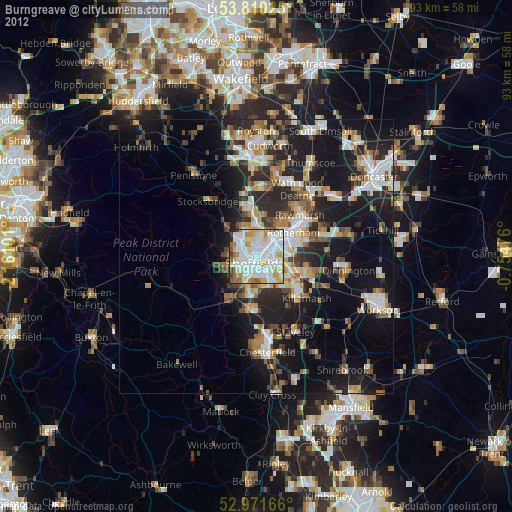
» Earth at Night: Flat Maps 2012, 2016