Derby night lights from space
Night Light of Derby (England) from space (United Kingdom) Src. Average luminocity for 10x10km area is 75.4206% and for 50x50km: 27.4427%.
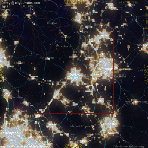
Analysis of Derby night lights 2016
Square area 10x10 km:
 31.35%
90-99
22.88%80-89
7.28%70-79
3.97%60-69
5.16%50-59
3.57%40-49
4.63%30-39
6.22%20-29
10.58%10-19
4.23%0-9
0.13%Square area 50x50 km:
5.3%90-99
5.7%80-89
2.71%70-79
2.58%60-69
3.1%50-59
2.93%40-49
3.32%30-39
4.5%20-29
10.04%10-19
17.69%0-9
42.13%Clear (daylight) street map image can be seen on geolist.org.
Map coordinates:
53° 20' 40.6" North, 2° 10' 47.1" West
52° 55' 22" North, 1° 28' 35.9" West
52° 29' 48.4" North, 0° 46' 24.6" West
Some cities around Derby sort by population:
• Ilkeston
12.4 km =7.7 mi,  64°
64°
• Belper
11.2 km =7 mi,  358°
358°
• Heanor
13 km =8.1 mi,  39°
39°
• Sinfin
4.6 km =2.9 mi,  188°
188°
• Castle Donington
12.7 km =7.9 mi,  134°
134°
• West Hallam
9.6 km =6 mi, 55°
• Borrowash
6.5 km =4 mi,  106°
106°
• Kilburn
9.6 km =6 mi,  15°
15°
2651347 (p: 270,468)
Sources (retrieved 2019-11-25):
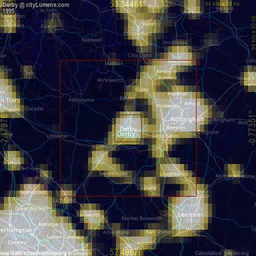
» NASA, Earths city lights 1995
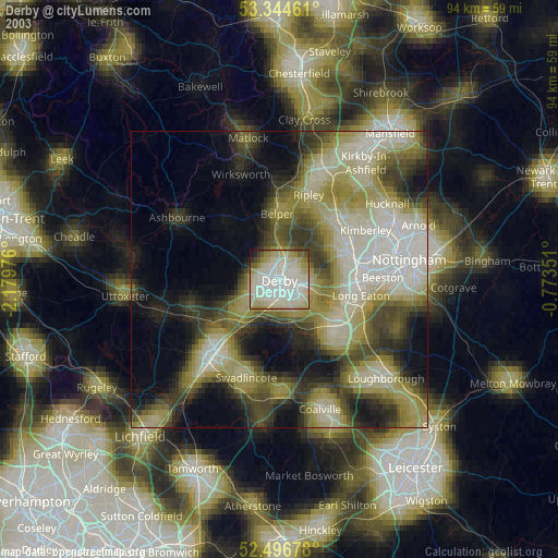
» NASA city lights 2003
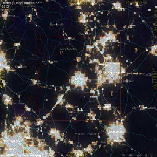
» Earth at Night: Flat Maps 2012, 2016