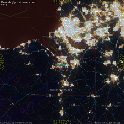
Deeside night lights from space
Night Light of Deeside (Wales) from space (United Kingdom) Src. Average luminocity for 10x10km area is 48.5846% and for 50x50km: 22.6097%.

Analysis of Deeside night lights 2016
Square area 10x10 km:
100  10.35%
90-99 8.84%
80-89 2.53%
70-79 4.8%
60-69 9.34%
50-59 5.81%
40-49 6.94%
30-39 6.94%
20-29 28.41%
10-19 16.04%
0-9 0%
10.35%90-99
8.84%80-89
2.53%70-79
4.8%60-69
9.34%50-59
5.81%40-49
6.94%30-39
6.94%20-29
28.41%10-19
16.04%0-9
0%Square area 50x50 km:
100 5.83%
90-99 5.24%
80-89 1.88%
70-79 1.66%
60-69 2.13%
50-59 2.21%
40-49 3.21%
30-39 3.97%
20-29 6.05%
10-19 9.32%
0-9 58.5%
5.83%90-99
5.24%80-89
1.88%70-79
1.66%60-69
2.13%50-59
2.21%40-49
3.21%30-39
3.97%20-29
6.05%10-19
9.32%0-9
58.5%Clear (daylight) street map image can be seen on geolist.org.
Map coordinates:
53° 37' 10.7" North, 3° 44' 29.5" West
53° 12' 1.9" North, 3° 2' 18.3" West
52° 46' 38.2" North, 2° 20' 7" West
Some cities around Deeside sort by population:
• Chester
9.8 km =6.1 mi,  96°
96°
• Buckley
4.8 km =3 mi,  218°
218°
• Flint
8 km =5 mi,  308°
308°
• Hawarden
1.9 km =1.2 mi,  154°
154°
• Neston
9.2 km =5.7 mi,  355°
355°
• Blacon
7.6 km =4.7 mi,  83°
83°
• Mold
7.8 km =4.8 mi,  241°
241°
• Broughton
5.1 km =3.2 mi,  144°
144°
8299616 (p: 32,000)
Sources (retrieved 2019-11-25):
» Earth at Night: Flat Maps 2012, 2016