Chester night lights from space
Night Light of Chester (England) from space (United Kingdom) Src. Average luminocity for 10x10km area is 42.7677% and for 50x50km: 24.7395%.
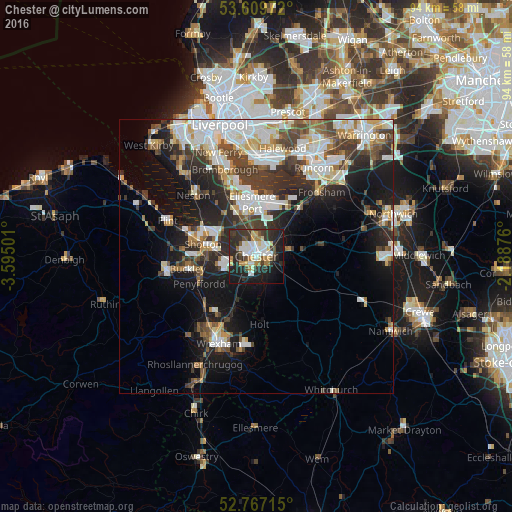
Analysis of Chester night lights 2016
Square area 10x10 km:
 8.59%
8.59%90-99
8.33%80-89
5.18%70-79
2.53%60-69
5.18%50-59
2.65%40-49
4.04%30-39
12.12%20-29
22.47%10-19
22.98%0-9
5.93%Square area 50x50 km:
5.65%90-99
5.56%80-89
2.31%70-79
1.97%60-69
2.37%50-59
2.55%40-49
3.58%30-39
4.54%20-29
7.02%10-19
11.76%0-9
52.7%Clear (daylight) street map image can be seen on geolist.org.
Map coordinates:
53° 36' 35" North, 3° 35' 42" West
53° 11' 25.8" North, 2° 53' 30.8" West
52° 46' 1.7" North, 2° 11' 19.5" West
Some cities around Chester sort by population:
• Ellesmere Port
9.8 km =6.1 mi,  356°
356°
• Buckley
13 km =8.1 mi,  258°
258°
• Deeside
9.8 km =6.1 mi,  276°
276°
• Hawarden
8.9 km =5.5 mi,  265°
265°
• Blacon
3 km =1.9 mi,  311°
311°
• Broughton
7.4 km =4.6 mi,  245°
245°
• Helsby
12.4 km =7.7 mi,  41°
41°
• Gresford
12.8 km =8 mi,  204°
204°
2653228 (p: 90,524)
Sources (retrieved 2019-11-25):
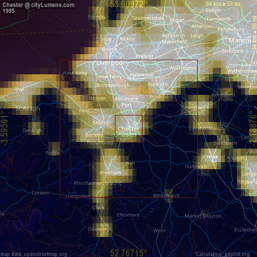
» NASA, Earths city lights 1995
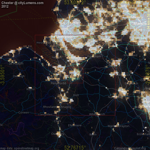
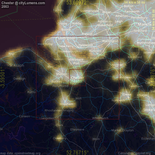
» NASA city lights 2003
» Earth at Night: Flat Maps 2012, 2016