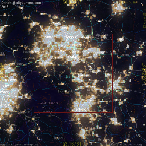
Darton night lights from space
Night Light of Darton (England) from space (United Kingdom) Src. Average luminocity for 10x10km area is 40.2311% and for 50x50km: 40.8658%.
Analysis of Darton night lights 2016
Square area 10x10 km:
 6.31%
6.31%90-99
8.33%80-89
2.53%70-79
5.81%60-69
3.79%50-59
5.05%40-49
2.65%30-39
15.78%20-29
20.2%10-19
15.66%0-9
13.89%Square area 50x50 km:
10.34%90-99
9.27%80-89
3.84%70-79
4.58%60-69
4.52%50-59
4.79%40-49
5.05%30-39
6.9%20-29
10.78%10-19
10.8%0-9
29.13%Clear (daylight) street map image can be seen on geolist.org.
Map coordinates:
54° 0' 8.5" North, 2° 13' 47.6" West
53° 35' 13.4" North, 1° 31' 36.3" West
53° 10' 3.4" North, 0° 49' 25.1" West
Some cities around Darton sort by population:
• Barnsley
5 km =3.1 mi,  145°
145°
• Cudworth
7.5 km =4.7 mi,  103°
103°
• Penistone
9.7 km =6 mi,  225°
225°
• Horbury
8.5 km =5.3 mi,  344°
344°
• Royston
5.3 km =3.3 mi,  74°
74°
• Clayton West
5.6 km =3.5 mi,  279°
279°
• Dodworth
4.9 km =3 mi,  180°
180°
• Ryhill
8.6 km =5.3 mi,  63°
63°
2651497 (p: 15,259)
Sources (retrieved 2019-11-25):
» Earth at Night: Flat Maps 2012, 2016