Clayton West night lights from space
Night Light of Clayton West (England) from space (United Kingdom) Src. Average luminocity for 10x10km area is 14.6641% and for 50x50km: 39.6895%.
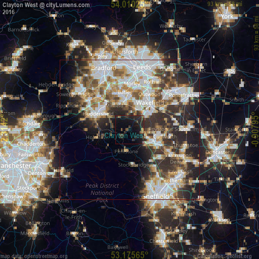
Analysis of Clayton West night lights 2016
Square area 10x10 km:
 0.13%
0.13%90-99
0.13%80-89
0.25%70-79
1.01%60-69
1.01%50-59
2.53%40-49
2.02%30-39
5.68%20-29
13.13%10-19
25.25%0-9
48.86%Square area 50x50 km:
10.15%90-99
9.12%80-89
3.65%70-79
4.35%60-69
4.49%50-59
4.67%40-49
4.76%30-39
6.83%20-29
10.26%10-19
9.85%0-9
31.88%Clear (daylight) street map image can be seen on geolist.org.
Map coordinates:
54° 0' 36.9" North, 2° 18' 51.1" West
53° 35' 42" North, 1° 36' 39.9" West
53° 10' 32.3" North, 0° 54' 28.6" West
Some cities around Clayton West sort by population:
• Barnsley
9.8 km =6.1 mi,  120°
120°
• Ossett
9.6 km =6 mi,  12°
12°
• Darton
5.6 km =3.5 mi,  99°
99°
• Penistone
7.8 km =4.8 mi,  189°
189°
• Horbury
8 km =5 mi,  24°
24°
• Dodworth
8 km =5 mi,  136°
136°
• Shepley
7.1 km =4.4 mi,  259°
259°
• Shelley
4.8 km =3 mi,  276°
276°
2652898 (p: 8,109)
Sources (retrieved 2019-11-25):
» Earth at Night: Flat Maps 2012, 2016