Wickford night lights from space
Night Light of Wickford (England) from space (United Kingdom) Src. Average luminocity for 10x10km area is 39.4385% and for 50x50km: 24.6503%.
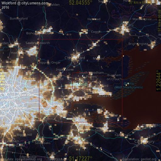
Analysis of Wickford night lights 2016
Square area 10x10 km:
 4.41%
4.41%90-99
5.88%80-89
4.14%70-79
2.94%60-69
5.75%50-59
8.69%40-49
9.22%30-39
12.97%20-29
9.76%10-19
23.53%0-9
12.7%Square area 50x50 km:
3.81%90-99
4.67%80-89
2.96%70-79
2.81%60-69
2.96%50-59
3.19%40-49
3.77%30-39
3.92%20-29
8.12%10-19
14.05%0-9
49.73%Clear (daylight) street map image can be seen on geolist.org.
Map coordinates:
52° 2' 44" North, 0° 10' 47.3" West
51° 36' 39.6" North, 0° 31' 23.9" East
51° 10' 20.2" North, 1° 13' 35.2" East
Some cities around Wickford sort by population:
• Basildon
6.5 km =4 mi,  223°
223°
• South Benfleet
6.9 km =4.3 mi,  158°
158°
• Canvey Island
10.7 km =6.6 mi, 158°
• Billericay
7.4 km =4.6 mi,  285°
285°
• Rayleigh
6.3 km =3.9 mi,  116°
116°
• Stanford-le-Hope
11.6 km =7.2 mi,  212°
212°
• Pitsea
5.3 km =3.3 mi,  190°
190°
• Hadleigh
8.8 km =5.5 mi,  137°
137°
2633976 (p: 32,975)
Sources (retrieved 2019-11-25):
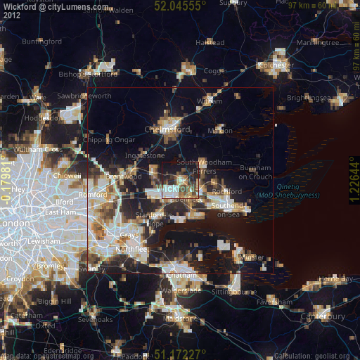
» Earth at Night: Flat Maps 2012, 2016