Wokingham night lights from space
Night Light of Wokingham (England) from space (United Kingdom) Src. Average luminocity for 10x10km area is 44.3389% and for 50x50km: 25.4676%.
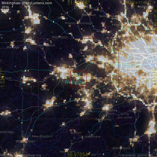
Analysis of Wokingham night lights 2016
Square area 10x10 km:
 4.48%
4.48%90-99
5.6%80-89
3.22%70-79
7.14%60-69
11.48%50-59
5.32%40-49
9.8%30-39
8.54%20-29
25.91%10-19
16.81%0-9
1.68%Square area 50x50 km:
2.86%90-99
3.65%80-89
2.04%70-79
2.91%60-69
3.78%50-59
4.44%40-49
5.86%30-39
5.46%20-29
9.79%10-19
17.12%0-9
42.09%Clear (daylight) street map image can be seen on geolist.org.
Map coordinates:
51° 50' 51.6" North, 1° 32' 19.6" West
51° 24' 40.3" North, 0° 50' 8.3" West
50° 58' 13.9" North, 0° 7' 57.1" West
Some cities around Wokingham sort by population:
• Reading
10.6 km =6.6 mi,  298°
298°
• Bracknell
5.9 km =3.7 mi,  87°
87°
• Lower Earley
6.1 km =3.8 mi,  286°
286°
• Camberley
10.5 km =6.5 mi,  141°
141°
• Crowthorne
5.5 km =3.4 mi,  146°
146°
• Yateley
7.6 km =4.7 mi,  176°
176°
• Ascot
11.2 km =7 mi, 90°
• Twyford
7.3 km =4.5 mi,  346°
346°
2633708 (p: 41,143)
Sources (retrieved 2019-11-25):
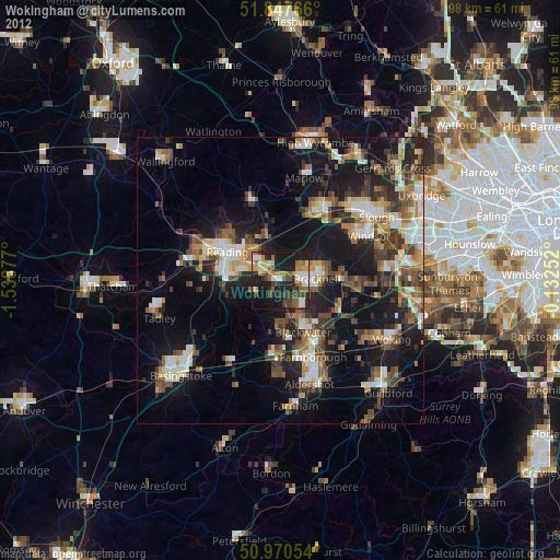
» Earth at Night: Flat Maps 2012, 2016