Corby night lights from space
Night Light of Corby (England) from space (United Kingdom) Src. Average luminocity for 10x10km area is 32.6733% and for 50x50km: 6.991%.
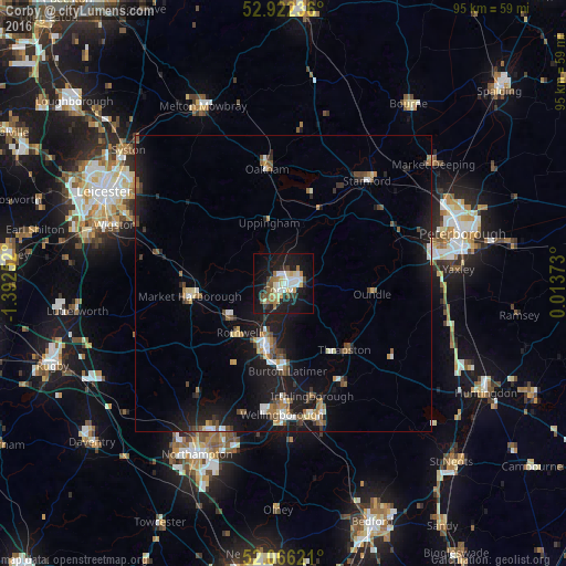

Analysis of Corby night lights 2016
Square area 10x10 km:
 5.82%
5.82%90-99
5.69%80-89
5.56%70-79
2.51%60-69
3.04%50-59
4.76%40-49
3.04%30-39
3.17%20-29
6.48%10-19
35.05%0-9
24.87%Square area 50x50 km:
0.8%90-99
0.87%80-89
0.74%70-79
0.48%60-69
0.86%50-59
1.1%40-49
1.06%30-39
0.85%20-29
1.54%10-19
8.22%0-9
83.49%Clear (daylight) street map image can be seen on geolist.org.
Map coordinates:
52° 55' 20.5" North, 1° 23' 33.1" West
52° 29' 46.9" North, 0° 41' 21.8" West
52° 3' 58.4" North, 0° 0' 49.4" East
Some cities around Corby sort by population:
• Kettering
11.2 km =7 mi,  192°
192°
• Market Harborough
15.8 km =9.8 mi,  262°
262°
• Oakham
19.2 km =11.9 mi,  351°
351°
• Desborough
10.8 km =6.7 mi,  235°
235°
• Rothwell
11.6 km =7.2 mi,  220°
220°
• Thrapston
15 km =9.3 mi,  137°
137°
• Burton Latimer
14.8 km =9.2 mi,  177°
177°
• Oundle
15.1 km =9.4 mi,  96°
96°
2652381 (p: 56,810)
Sources (retrieved 2019-11-25):
» NASA, Earths city lights 1995
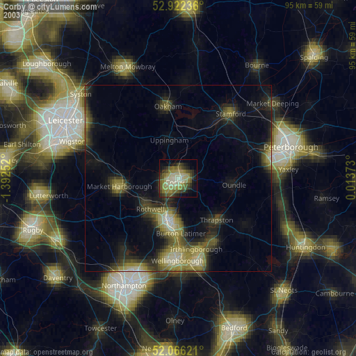
» NASA city lights 2003
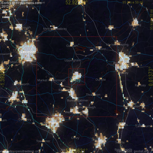
» Earth at Night: Flat Maps 2012, 2016