Kettering night lights from space
Night Light of Kettering (England) from space (United Kingdom) Src. Average luminocity for 10x10km area is 27.3889% and for 50x50km: 9.2272%.
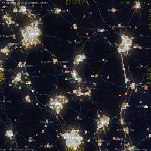
Analysis of Kettering night lights 2016
Square area 10x10 km:
 3.79%
3.79%90-99
4.29%80-89
2.02%70-79
1.64%60-69
4.17%50-59
1.89%40-49
5.43%30-39
4.17%20-29
3.54%10-19
45.08%0-9
23.99%Square area 50x50 km:
1.2%90-99
1.28%80-89
0.92%70-79
0.85%60-69
1.18%50-59
1.48%40-49
1.54%30-39
0.86%20-29
2.03%10-19
9.53%0-9
79.12%Clear (daylight) street map image can be seen on geolist.org.
Map coordinates:
52° 49' 31.1" North, 1° 25' 43.8" West
52° 23' 54.1" North, 0° 43' 32.6" West
51° 58' 2.1" North, 0° 1' 21.3" West
Some cities around Kettering sort by population:
• Corby
11.2 km =7 mi,  12°
12°
• Wellingborough
10.8 km =6.7 mi,  168°
168°
• Desborough
8.1 km =5 mi,  306°
306°
• Rothwell
5.4 km =3.4 mi,  291°
291°
• Irthlingborough
11.1 km =6.9 mi,  135°
135°
• Thrapston
12.7 km =7.9 mi,  90°
90°
• Burton Latimer
5 km =3.1 mi, 140°
• Higham Ferrers
13.6 km =8.5 mi, 138°
2645753 (p: 63,675)
Sources (retrieved 2019-11-25):
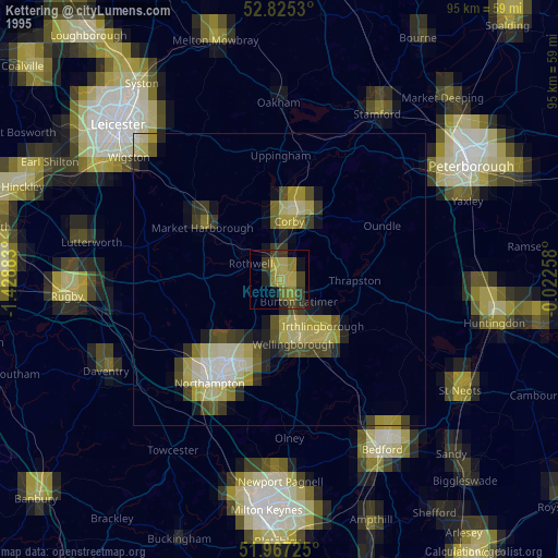
» NASA, Earths city lights 1995
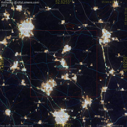
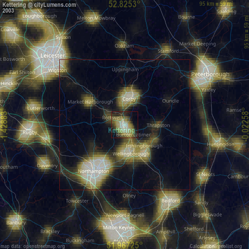
» NASA city lights 2003
» Earth at Night: Flat Maps 2012, 2016