Market Harborough night lights from space
Night Light of Market Harborough (England) from space (United Kingdom) Src. Average luminocity for 10x10km area is 8.1679% and for 50x50km: 14.8926%.
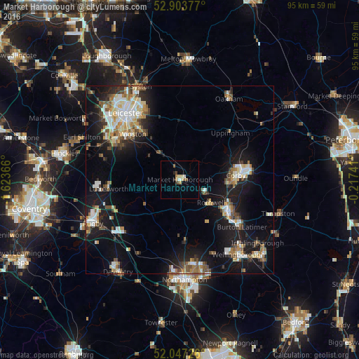
Analysis of Market Harborough night lights 2016
Square area 10x10 km:
 0.76%
0.76%90-99
0.88%80-89
2.27%70-79
0.38%60-69
1.39%50-59
1.39%40-49
0.38%30-39
0.63%20-29
1.01%10-19
0%0-9
90.91%Square area 50x50 km:
2.2%90-99
2.69%80-89
1.67%70-79
1.38%60-69
1.95%50-59
2.02%40-49
2.04%30-39
1.62%20-29
2.95%10-19
13.03%0-9
68.45%Clear (daylight) street map image can be seen on geolist.org.
Map coordinates:
52° 54' 13.6" North, 1° 37' 25.2" West
52° 28' 39.4" North, 0° 55' 13.9" West
52° 2' 50.1" North, 0° 13' 2.7" West
Some cities around Market Harborough sort by population:
• Kettering
15.9 km =9.9 mi,  123°
123°
• Corby
15.8 km =9.8 mi,  82°
82°
• Wigston Magna
16.4 km =10.2 mi,  314°
314°
• Desborough
7.8 km =4.8 mi, 120°
• Rothwell
10.6 km =6.6 mi,  129°
129°
• Countesthorpe
17.4 km =10.8 mi,  299°
299°
• Kibworth Harcourt
9 km =5.6 mi,  325°
325°
• Brixworth
16.5 km =10.3 mi,  175°
175°
2643027 (p: 22,911)
Sources (retrieved 2019-11-25):
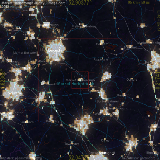
» Earth at Night: Flat Maps 2012, 2016