Macclesfield night lights from space
Night Light of Macclesfield (England) from space (United Kingdom) Src. Average luminocity for 10x10km area is 16.053% and for 50x50km: 22.8053%.
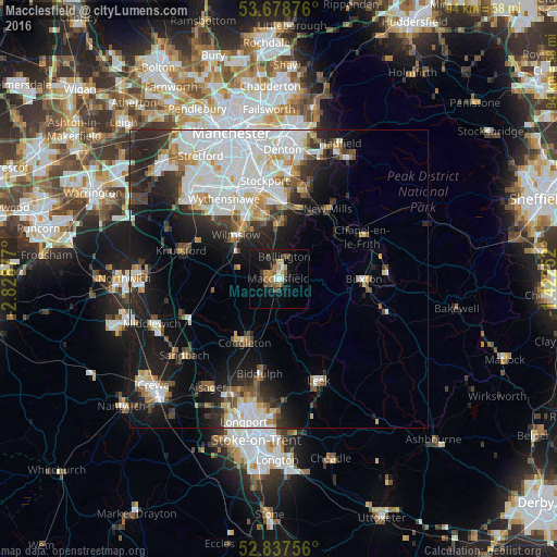
Analysis of Macclesfield night lights 2016
Square area 10x10 km:
 1.01%
1.01%90-99
1.01%80-89
2.15%70-79
2.4%60-69
2.4%50-59
2.53%40-49
3.16%30-39
2.53%20-29
1.77%10-19
18.31%0-9
62.75%Square area 50x50 km:
6.57%90-99
5.19%80-89
1.93%70-79
1.85%60-69
1.84%50-59
2.15%40-49
2.23%30-39
2.87%20-29
5.59%10-19
11.21%0-9
58.58%Clear (daylight) street map image can be seen on geolist.org.
Map coordinates:
53° 40' 43.5" North, 2° 49' 43.6" West
53° 15' 36.8" North, 2° 7' 32.3" West
52° 50' 15.2" North, 1° 25' 21.1" West
Some cities around Macclesfield sort by population:
• Wilmslow
10.3 km =6.4 mi,  316°
316°
• Cheadle Hulme
13.6 km =8.5 mi,  341°
341°
• Congleton
12.2 km =7.6 mi,  208°
208°
• Bramhall
11.2 km =7 mi,  346°
346°
• Hazel Grove
13.7 km =8.5 mi,  2°
2°
• Poynton
10 km =6.2 mi, 3°
• Bollington
4 km =2.5 mi,  15°
15°
• Whaley Bridge
12.3 km =7.6 mi,  50°
50°
2643266 (p: 63,954)
Sources (retrieved 2019-11-25):
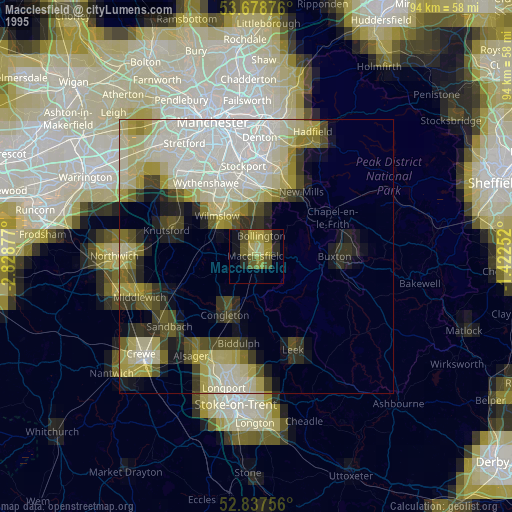
» NASA, Earths city lights 1995
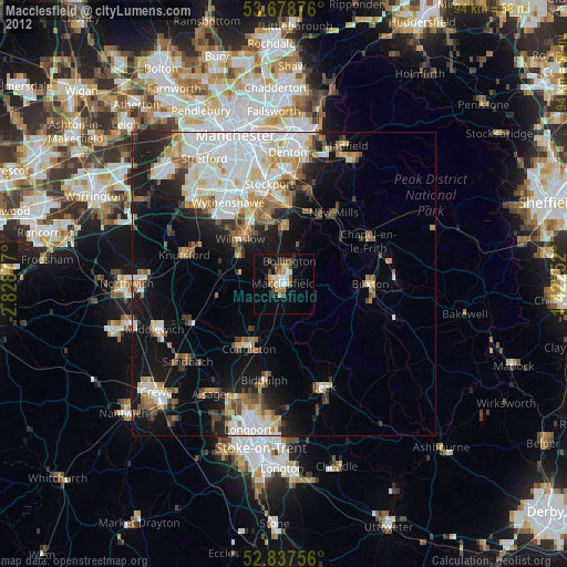
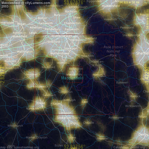
» NASA city lights 2003
» Earth at Night: Flat Maps 2012, 2016