Cheltenham night lights from space
Night Light of Cheltenham (England) from space (United Kingdom) Src. Average luminocity for 10x10km area is 31.3497% and for 50x50km: 6.3221%.
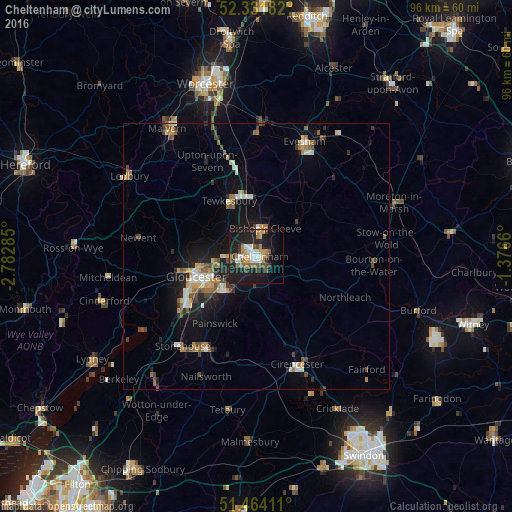
Analysis of Cheltenham night lights 2016
Square area 10x10 km:
 4.29%
4.29%90-99
5.81%80-89
1.01%70-79
4.42%60-69
6.44%50-59
3.91%40-49
4.04%30-39
2.78%20-29
8.08%10-19
36.24%0-9
22.98%Square area 50x50 km:
0.6%90-99
0.91%80-89
0.52%70-79
0.76%60-69
1.04%50-59
0.98%40-49
0.89%30-39
0.78%20-29
1.44%10-19
5.31%0-9
86.76%Clear (daylight) street map image can be seen on geolist.org.
Map coordinates:
52° 19' 54.6" North, 2° 46' 58.3" West
51° 54' 0.2" North, 2° 4' 47" West
51° 27' 50.8" North, 1° 22' 35.8" West
Some cities around Cheltenham sort by population:
• Gloucester
11.8 km =7.3 mi,  251°
251°
• Stroud
18.6 km =11.6 mi,  206°
206°
• Tewkesbury
11.7 km =7.3 mi,  331°
331°
• Cirencester
21.4 km =13.3 mi,  159°
159°
• Bishops Cleeve
5.4 km =3.4 mi,  12°
12°
• Churchdown
6.7 km =4.2 mi, 248°
• Charlton Kings
3.1 km =1.9 mi,  125°
125°
• Chalford
20 km =12.4 mi,  194°
194°
2653261 (p: 116,447)
Sources (retrieved 2019-11-25):
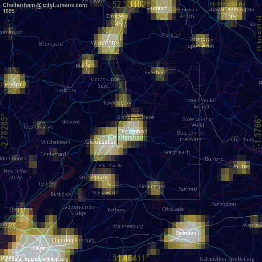
» NASA, Earths city lights 1995
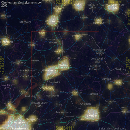
» NASA city lights 2003
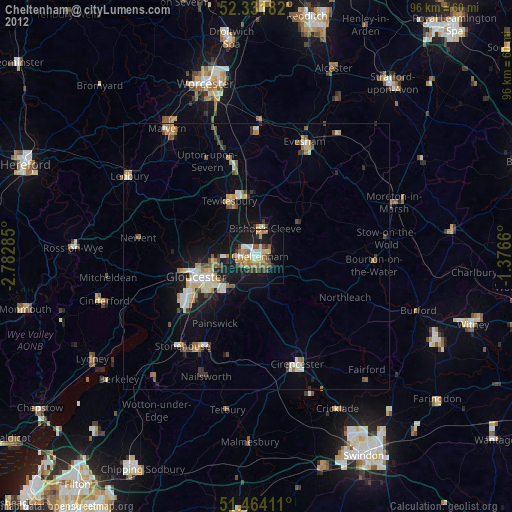
» Earth at Night: Flat Maps 2012, 2016