Heywood night lights from space
Night Light of Heywood (England) from space (United Kingdom) Src. Average luminocity for 10x10km area is 67.7323% and for 50x50km: 40.6273%.
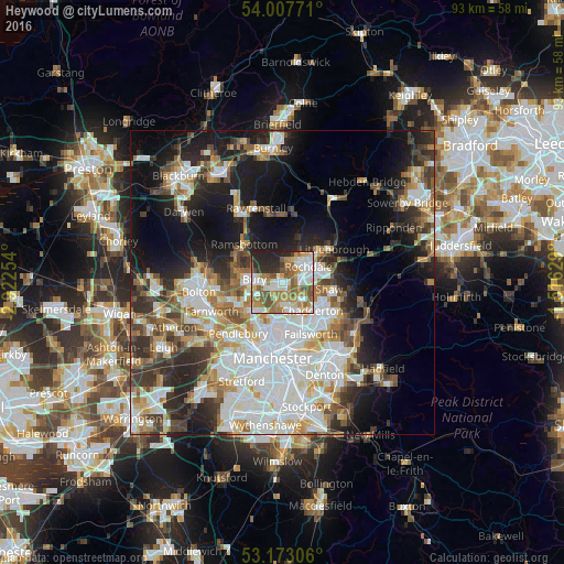
Analysis of Heywood night lights 2016
Square area 10x10 km:
 14.27%
90-99
17.68%80-89
5.43%70-79
10.1%60-69
16.92%50-59
11.36%40-49
6.31%30-39
2.65%20-29
12.75%10-19
2.53%0-9
0%Square area 50x50 km:
11.08%90-99
8.99%80-89
3.88%70-79
4.11%60-69
5.05%50-59
4.61%40-49
4.76%30-39
5.3%20-29
8.03%10-19
14.42%0-9
29.77%Clear (daylight) street map image can be seen on geolist.org.
Map coordinates:
54° 0' 27.8" North, 2° 55' 21.1" West
53° 35' 32.8" North, 2° 13' 9.9" West
53° 10' 23" North, 1° 30' 58.6" West
Some cities around Heywood sort by population:
• Rochdale
5.1 km =3.2 mi,  56°
56°
• Bury
5.4 km =3.4 mi,  278°
278°
• Middleton
4.9 km =3 mi,  164°
164°
• Radcliffe
7.7 km =4.8 mi,  243°
243°
• Whitefield
7.1 km =4.4 mi,  228°
228°
• Royton
7.1 km =4.4 mi,  115°
115°
• Milnrow
7.3 km =4.5 mi,  73°
73°
• Whitworth
7.6 km =4.7 mi,  21°
21°
6691235 (p: 28,024)
Sources (retrieved 2019-11-25):
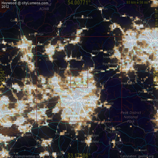
» Earth at Night: Flat Maps 2012, 2016