Burton upon Trent night lights from space
Night Light of Burton upon Trent (England) from space (United Kingdom) Src. Average luminocity for 10x10km area is 40.2601% and for 50x50km: 23.0101%.
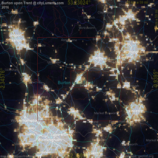
Analysis of Burton upon Trent night lights 2016
Square area 10x10 km:
 7.32%
7.32%90-99
7.32%80-89
4.29%70-79
5.05%60-69
4.17%50-59
4.8%40-49
4.17%30-39
4.29%20-29
19.95%10-19
31.31%0-9
7.32%Square area 50x50 km:
3.65%90-99
4.19%80-89
2.29%70-79
2.78%60-69
2.68%50-59
2.64%40-49
3.2%30-39
2.98%20-29
7.9%10-19
18.26%0-9
49.42%Clear (daylight) street map image can be seen on geolist.org.
Map coordinates:
53° 13' 48.9" North, 2° 20' 44.7" West
52° 48' 26.2" North, 1° 38' 33.5" West
52° 22' 48.6" North, 0° 56' 22.2" West
Some cities around Burton upon Trent sort by population:
• Derby
17 km =10.6 mi,  40°
40°
• Tamworth
19.6 km =12.2 mi,  190°
190°
• Swadlincote
6.8 km =4.2 mi,  122°
122°
• Lichfield
18.6 km =11.6 mi,  221°
221°
• Sinfin
13.3 km =8.3 mi,  51°
51°
• Uttoxeter
18 km =11.2 mi,  304°
304°
• Ashby de la Zouch
13.3 km =8.3 mi, 120°
• Measham
14.5 km =9 mi,  140°
140°
2654200 (p: 122,199)
Sources (retrieved 2019-11-25):
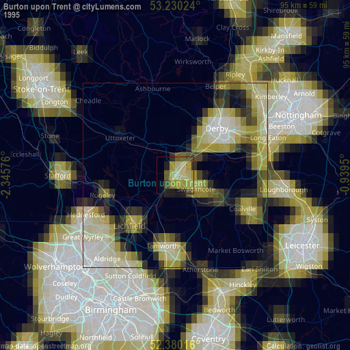
» NASA, Earths city lights 1995
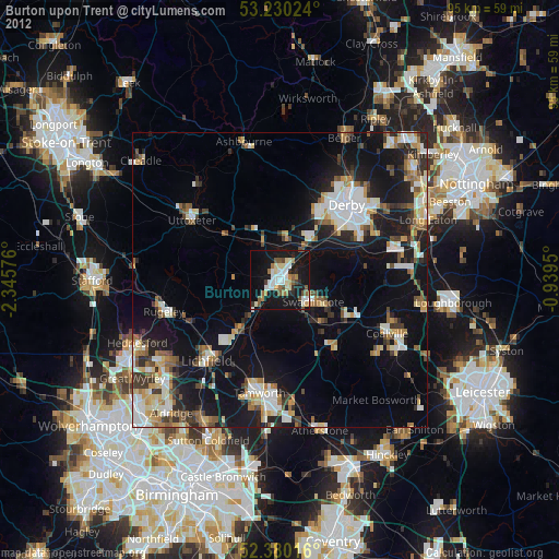
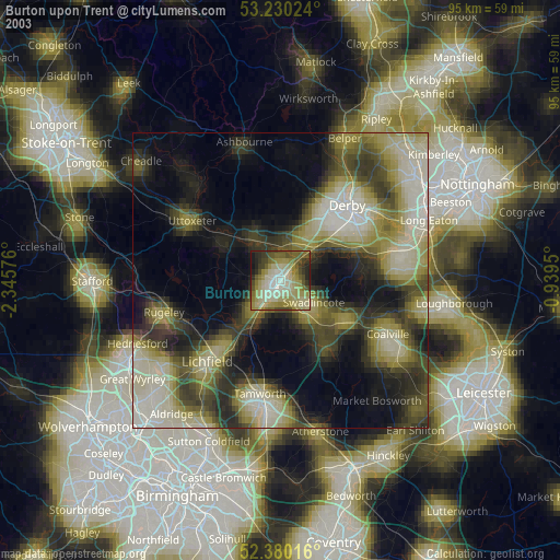
» NASA city lights 2003
» Earth at Night: Flat Maps 2012, 2016