Lichfield night lights from space
Night Light of Lichfield (England) from space (United Kingdom) Src. Average luminocity for 10x10km area is 29.9722% and for 50x50km: 38.0883%.
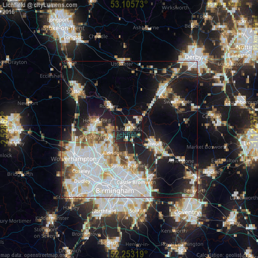
Analysis of Lichfield night lights 2016
Square area 10x10 km:
 2.25%
2.25%90-99
4.23%80-89
3.7%70-79
3.84%60-69
3.84%50-59
3.97%40-49
2.78%30-39
3.04%20-29
9.66%10-19
58.47%0-9
4.23%Square area 50x50 km:
11.85%90-99
9.41%80-89
3.26%70-79
3.49%60-69
3.59%50-59
2.99%40-49
3.27%30-39
3.08%20-29
7.12%10-19
17.68%0-9
34.25%Clear (daylight) street map image can be seen on geolist.org.
Map coordinates:
53° 6' 20.6" North, 2° 31' 43" West
52° 40' 53.5" North, 1° 49' 31.8" West
52° 15' 11.5" North, 1° 7' 20.5" West
Some cities around Lichfield sort by population:
• Tamworth
10.2 km =6.3 mi,  121°
121°
• Burntwood
6.9 km =4.3 mi,  269°
269°
• Brownhills
9 km =5.6 mi,  233°
233°
• Aldridge
10.5 km =6.5 mi,  216°
216°
• Pelsall
11.2 km =7 mi,  238°
238°
• Chasetown
6.8 km =4.2 mi,  261°
261°
• Fazeley
11.4 km =7.1 mi,  131°
131°
• Norton Canes
9.3 km =5.8 mi, 263°
2644531 (p: 32,877)
Sources (retrieved 2019-11-25):
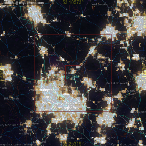
» Earth at Night: Flat Maps 2012, 2016