Swadlincote night lights from space
Night Light of Swadlincote (England) from space (United Kingdom) Src. Average luminocity for 10x10km area is 30.6452% and for 50x50km: 26.3571%.
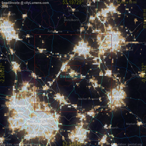
Analysis of Swadlincote night lights 2016
Square area 10x10 km:
 2.78%
2.78%90-99
2.78%80-89
3.54%70-79
5.18%60-69
4.04%50-59
6.06%40-49
4.29%30-39
5.68%20-29
10.73%10-19
37.12%0-9
17.8%Square area 50x50 km:
4.21%90-99
5.01%80-89
2.57%70-79
2.82%60-69
3.28%50-59
2.82%40-49
3.44%30-39
3.39%20-29
9.38%10-19
22.72%0-9
40.35%Clear (daylight) street map image can be seen on geolist.org.
Map coordinates:
53° 11' 50.2" North, 2° 15' 38.1" West
52° 46' 26.4" North, 1° 33' 26.8" West
52° 20' 47.6" North, 0° 51' 15.6" West
Some cities around Swadlincote sort by population:
• Derby
17.4 km =10.8 mi,  18°
18°
• Burton upon Trent
6.8 km =4.2 mi,  302°
302°
• Coalville
13.8 km =8.6 mi,  114°
114°
• Sinfin
12.9 km =8 mi, 21°
• Ashby de la Zouch
6.4 km =4 mi,  118°
118°
• Castle Donington
16.4 km =10.2 mi,  62°
62°
• Ibstock
14.5 km =9 mi,  132°
132°
• Measham
8.3 km =5.2 mi,  155°
155°
2636465 (p: 40,960)
Sources (retrieved 2019-11-25):
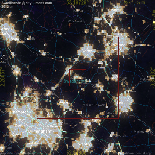
» Earth at Night: Flat Maps 2012, 2016