Burgess Hill night lights from space
Night Light of Burgess Hill (England) from space (United Kingdom) Src. Average luminocity for 10x10km area is 15.7577% and for 50x50km: 9.7086%.
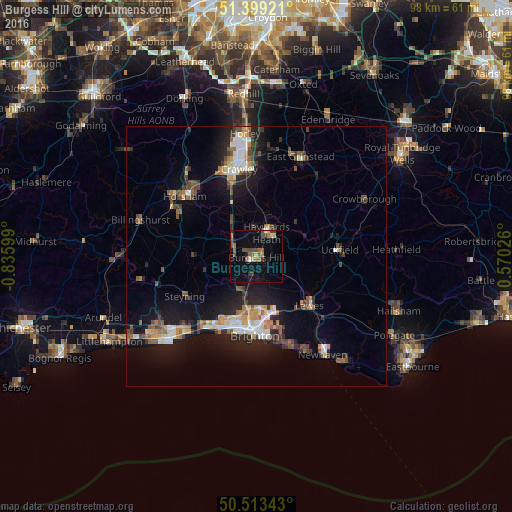
Analysis of Burgess Hill night lights 2016
Square area 10x10 km:
 0.14%
0.14%90-99
0.7%80-89
1.96%70-79
1.68%60-69
2.8%50-59
4.62%40-49
4.9%30-39
2.24%20-29
0.42%10-19
6.44%0-9
74.09%Square area 50x50 km:
1.08%90-99
1.5%80-89
0.81%70-79
1.1%60-69
1.18%50-59
1.42%40-49
1.76%30-39
1.35%20-29
2.35%10-19
8.04%0-9
79.41%Clear (daylight) street map image can be seen on geolist.org.
Map coordinates:
51° 23' 57.2" North, 0° 50' 9.6" West
50° 57' 30.3" North, 0° 7' 58.3" West
50° 30' 48.3" North, 0° 34' 12.9" East
Some cities around Burgess Hill sort by population:
• Brighton
14.5 km =9 mi,  181°
181°
• Hove
14.4 km =8.9 mi,  189°
189°
• Haywards Heath
4.8 km =3 mi,  25°
25°
• Portslade
14.1 km =8.8 mi,  204°
204°
• Lewes
13.7 km =8.5 mi,  133°
133°
• Hurstpierpoint
4.3 km =2.7 mi,  230°
230°
• Steyning
15.8 km =9.8 mi,  239°
239°
• Hassocks
4.1 km =2.5 mi,  214°
214°
2654308 (p: 30,635)
Sources (retrieved 2019-11-25):
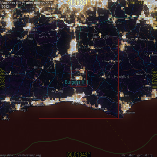
» Earth at Night: Flat Maps 2012, 2016