Brighton night lights from space
Night Light of Brighton (England) from space (United Kingdom) Src. Average luminocity for 10x10km area is 51.8417% and for 50x50km: 6.8267%.
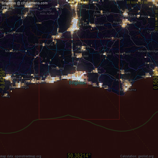
Analysis of Brighton night lights 2016
Square area 10x10 km:
 11.34%
90-99
13.45%80-89
4.76%70-79
9.52%60-69
6.3%50-59
3.36%40-49
2.8%30-39
2.8%20-29
18.63%10-19
24.79%0-9
2.24%Square area 50x50 km:
0.69%90-99
0.95%80-89
0.62%70-79
0.84%60-69
0.82%50-59
1.1%40-49
1.06%30-39
0.83%20-29
1.67%10-19
6.1%0-9
85.32%Clear (daylight) street map image can be seen on geolist.org.
Map coordinates:
51° 16' 13.4" North, 0° 50' 33.3" West
50° 49' 42.2" North, 0° 8' 22.1" West
50° 22' 55.7" North, 0° 33' 49.2" East
Some cities around Brighton sort by population:
• Hove
2 km =1.2 mi,  278°
278°
• Rottingdean
6 km =3.7 mi,  110°
110°
• Portslade
5.6 km =3.5 mi,  286°
286°
• Shoreham-by-Sea
9.5 km =5.9 mi,  273°
273°
• Peacehaven
10.1 km =6.3 mi, 113°
• Lewes
11.6 km =7.2 mi,  64°
64°
• Hurstpierpoint
12.1 km =7.5 mi,  346°
346°
• Hassocks
11.2 km =7 mi, 350°
2654710 (p: 139,001)
Sources (retrieved 2019-11-25):
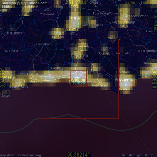
» NASA, Earths city lights 1995
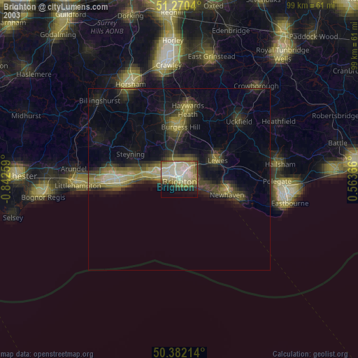
» NASA city lights 2003
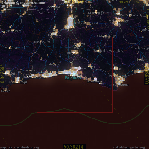
» Earth at Night: Flat Maps 2012, 2016