Lewes night lights from space
Night Light of Lewes (England) from space (United Kingdom) Src. Average luminocity for 10x10km area is 7.3557% and for 50x50km: 7.2032%.
Analysis of Lewes night lights 2016
Square area 10x10 km:
 0.28%
0.28%90-99
0.28%80-89
0%70-79
1.54%60-69
0.14%50-59
1.68%40-49
2.24%30-39
1.54%20-29
1.26%10-19
4.62%0-9
86.41%Square area 50x50 km:
0.63%90-99
0.87%80-89
0.64%70-79
0.85%60-69
0.89%50-59
1.04%40-49
1.37%30-39
1.28%20-29
2%10-19
6.22%0-9
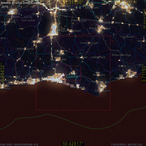
84.21%Clear (daylight) street map image can be seen on geolist.org.
Map coordinates:
51° 18' 56" North, 0° 41' 39.6" West
50° 52' 26.3" North, 0° 0' 31.7" East
50° 25' 41.4" North, 0° 42' 42.9" East
Some cities around Lewes sort by population:
• Brighton
11.6 km =7.2 mi,  244°
244°
• Hove
13.3 km =8.3 mi,  248°
248°
• Seaford
13.2 km =8.2 mi,  149°
149°
• Rottingdean
8.6 km =5.3 mi,  213°
213°
• Peacehaven
9.1 km =5.7 mi,  186°
186°
• Uckfield
12.2 km =7.6 mi,  29°
29°
• Newhaven
9.2 km =5.7 mi,  159°
159°
• Hassocks
13.7 km =8.5 mi,  296°
296°
2644559 (p: 17,297)
Sources (retrieved 2019-11-25):
» Earth at Night: Flat Maps 2012, 2016