Hove night lights from space
Night Light of Hove (England) from space (United Kingdom) Src. Average luminocity for 10x10km area is 51.8543% and for 50x50km: 6.9716%.
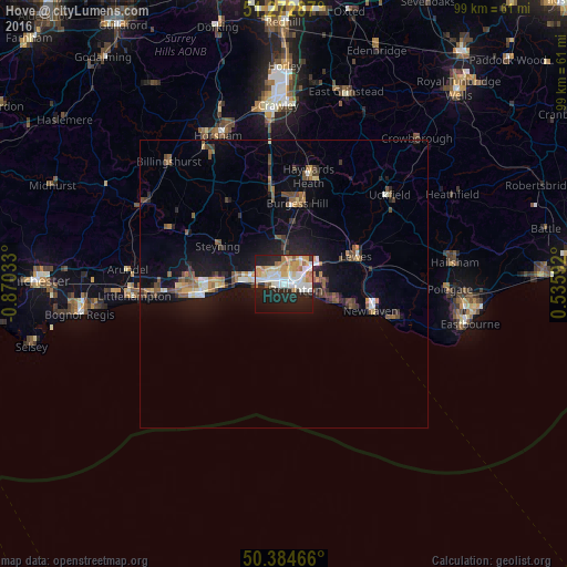
Analysis of Hove night lights 2016
Square area 10x10 km:
 11.34%
90-99
13.73%80-89
5.88%70-79
9.24%60-69
7.56%50-59
2.52%40-49
0.7%30-39
1.12%20-29
17.51%10-19
27.17%0-9
3.22%Square area 50x50 km:
0.69%90-99
0.95%80-89
0.62%70-79
0.86%60-69
0.84%50-59
1.12%40-49
1.14%30-39
0.87%20-29
1.73%10-19
6.13%0-9
85.05%Clear (daylight) street map image can be seen on geolist.org.
Map coordinates:
51° 16' 22.3" North, 0° 52' 13.2" West
50° 49' 51.2" North, 0° 10' 1.9" West
50° 23' 4.8" North, 0° 32' 9.3" East
Some cities around Hove sort by population:
• Brighton
2 km =1.2 mi,  98°
98°
• Rottingdean
7.9 km =4.9 mi,  107°
107°
• Portslade
3.7 km =2.3 mi,  291°
291°
• Shoreham-by-Sea
7.5 km =4.7 mi,  272°
272°
• Lancing
10.9 km =6.8 mi, 268°
• Peacehaven
12.1 km =7.5 mi, 110°
• Hurstpierpoint
11.5 km =7.1 mi,  355°
355°
• Hassocks
10.8 km =6.7 mi,  0°
0°
2646504 (p: 75,174)
Sources (retrieved 2019-11-25):
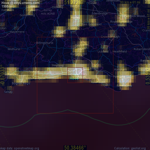
» NASA, Earths city lights 1995
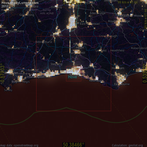
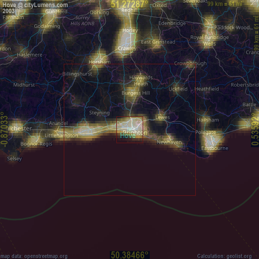
» NASA city lights 2003
» Earth at Night: Flat Maps 2012, 2016