Hagley night lights from space
Night Light of Hagley (England) from space (United Kingdom) Src. Average luminocity for 10x10km area is 35.3119% and for 50x50km: 33.7756%.
Analysis of Hagley night lights 2016
Square area 10x10 km:
 4.42%
4.42%90-99
5.81%80-89
4.29%70-79
5.43%60-69
5.43%50-59
4.29%40-49
3.54%30-39
5.18%20-29
14.77%10-19
25.88%0-9
20.96%Square area 50x50 km:
11.52%90-99
9.47%80-89
2.76%70-79
2.65%60-69
2.8%50-59
2.46%40-49
3.02%30-39
2.66%20-29
5.26%10-19
9.46%0-9
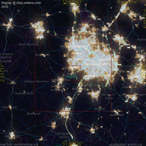
47.94%Clear (daylight) street map image can be seen on geolist.org.
Map coordinates:
52° 51' 10.3" North, 2° 49' 52.7" West
52° 25' 34.3" North, 2° 7' 41.5" West
51° 59' 43.3" North, 1° 25' 30.2" West
Some cities around Hagley sort by population:
• Dudley
8.8 km =5.5 mi,  20°
20°
• Kidderminster
9.3 km =5.8 mi,  242°
242°
• Stourbridge
3.5 km =2.2 mi,  343°
343°
• Halesowen
5.9 km =3.7 mi,  65°
65°
• Brierley Hill
6.2 km =3.9 mi,  4°
4°
• Bartley Green
8.9 km =5.5 mi,  83°
83°
• Kingswinford
8.4 km =5.2 mi, 340°
• Cradley Heath
6 km =3.7 mi,  31°
31°
2647662 (p: 5,850)
Sources (retrieved 2019-11-25):
» Earth at Night: Flat Maps 2012, 2016