Blaby night lights from space
Night Light of Blaby (England) from space (United Kingdom) Src. Average luminocity for 10x10km area is 47.9325% and for 50x50km: 19.1463%.
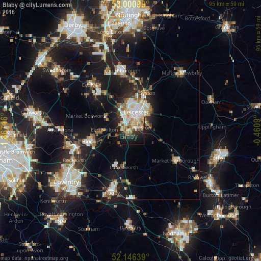
Analysis of Blaby night lights 2016
Square area 10x10 km:
 5.42%
5.42%90-99
10.05%80-89
7.54%70-79
9.26%60-69
7.28%50-59
5.03%40-49
8.86%30-39
4.63%20-29
12.3%10-19
23.15%0-9
6.48%Square area 50x50 km:
3.17%90-99
3.86%80-89
2.07%70-79
1.52%60-69
2.38%50-59
2.51%40-49
2.42%30-39
2.45%20-29
4.97%10-19
14.78%0-9
59.86%Clear (daylight) street map image can be seen on geolist.org.
Map coordinates:
53° 0' 3.6" North, 1° 52' 1.8" West
52° 34' 32.8" North, 1° 9' 50.5" West
52° 8' 47" North, 0° 27' 39.2" West
Some cities around Blaby sort by population:
• Leicester
7.3 km =4.5 mi,  17°
17°
• Wigston Magna
4.9 km =3 mi,  82°
82°
• Oadby
6.4 km =4 mi,  58°
58°
• Kirby Muxloe
7.4 km =4.6 mi,  324°
324°
• Broughton Astley
6.4 km =4 mi,  214°
214°
• Enderby
3.1 km =1.9 mi,  295°
295°
• Countesthorpe
2.8 km =1.7 mi,  152°
152°
• Narborough
2.6 km =1.6 mi,  247°
247°
2655532 (p: 6,300)
Sources (retrieved 2019-11-25):
» Earth at Night: Flat Maps 2012, 2016