Oadby night lights from space
Night Light of Oadby (England) from space (United Kingdom) Src. Average luminocity for 10x10km area is 49.8399% and for 50x50km: 15.9043%.
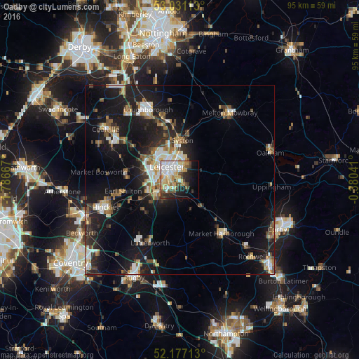
Analysis of Oadby night lights 2016
Square area 10x10 km:
 8.86%
8.86%90-99
14.02%80-89
7.28%70-79
9.39%60-69
4.37%50-59
3.17%40-49
7.8%30-39
3.57%20-29
8.86%10-19
13.89%0-9
18.78%Square area 50x50 km:
2.23%90-99
2.66%80-89
1.62%70-79
1.47%60-69
2.09%50-59
2.24%40-49
2.09%30-39
1.99%20-29
4.35%10-19
15.15%0-9
64.11%Clear (daylight) street map image can be seen on geolist.org.
Map coordinates:
53° 1' 52.1" North, 1° 47' 12" West
52° 36' 22.4" North, 1° 5' 0.7" West
52° 10' 37.7" North, 0° 22' 49.5" West
Some cities around Oadby sort by population:
• Leicester
4.9 km =3 mi,  317°
317°
• Wigston Magna
2.8 km =1.7 mi,  192°
192°
• Syston
8.7 km =5.4 mi,  7°
7°
• Glenfield
8.8 km =5.5 mi,  300°
300°
• Enderby
8.5 km =5.3 mi,  256°
256°
• Countesthorpe
7.2 km =4.5 mi,  215°
215°
• Narborough
9 km =5.6 mi,  240°
240°
• Blaby
6.4 km =4 mi, 238°
2641134 (p: 23,184)
Sources (retrieved 2019-11-25):
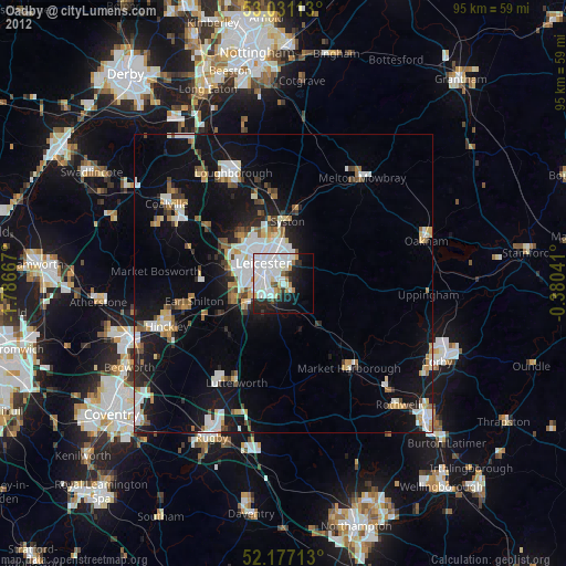
» Earth at Night: Flat Maps 2012, 2016