Birmingham night lights from space
Night Light of Birmingham (England) from space (United Kingdom) Src. Average luminocity for 10x10km area is 98.2992% and for 50x50km: 43.2072%.
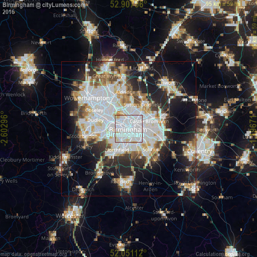
Analysis of Birmingham night lights 2016
Square area 10x10 km:
 66.92%
90-99
26.26%80-89
5.68%70-79
0.63%60-69
0.51%50-59
0%40-49
0%30-39
0%20-29
0%10-19
0%0-9
0%Square area 50x50 km:
13.12%90-99
11.3%80-89
3.72%70-79
4.09%60-69
4.17%50-59
3.19%40-49
3.99%30-39
3.9%20-29
8.94%10-19
16.54%0-9
27.04%Clear (daylight) street map image can be seen on geolist.org.
Map coordinates:
52° 54' 27.2" North, 2° 36' 10.7" West
52° 28' 53.1" North, 1° 53' 59.4" West
52° 3' 4" North, 1° 11' 48.2" West
Some cities around Birmingham sort by population:
• West Bromwich
7.6 km =4.7 mi,  302°
302°
• Washwood Heath
5.4 km =3.4 mi,  66°
66°
• Aston
2.3 km =1.4 mi,  28°
28°
• Acocks Green
6.6 km =4.1 mi,  121°
121°
• Hockley
2.4 km =1.5 mi,  331°
331°
• Smethwick
4.7 km =2.9 mi,  285°
285°
• Oldbury
8.2 km =5.1 mi,  284°
284°
• Castle Vale
8.1 km =5 mi,  59°
59°
2655603 (p: 984,333)
Sources (retrieved 2019-11-25):
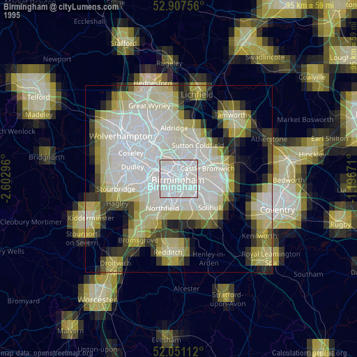
» NASA, Earths city lights 1995
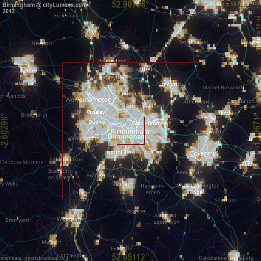
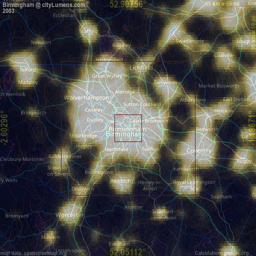
» NASA city lights 2003
» Earth at Night: Flat Maps 2012, 2016