Fordingbridge night lights from space
Night Light of Fordingbridge (England) from space (United Kingdom) Src. Average luminocity for 10x10km area is 0.5168% and for 50x50km: 8.1941%.
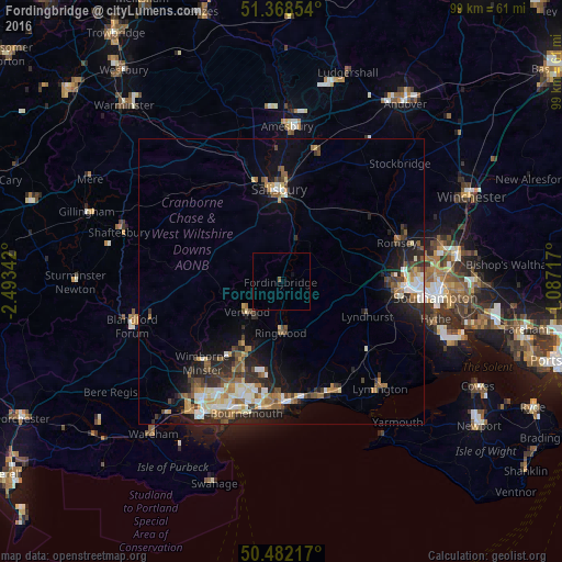
Analysis of Fordingbridge night lights 2016
Square area 10x10 km:
 0%
0%90-99
0%80-89
0%70-79
0%60-69
0%50-59
0.56%40-49
0%30-39
0%20-29
0%10-19
0.56%0-9
98.88%Square area 50x50 km:
0.91%90-99
1.45%80-89
0.85%70-79
0.96%60-69
1.23%50-59
1.18%40-49
1.25%30-39
1.35%20-29
2.75%10-19
4.5%0-9
83.57%Clear (daylight) street map image can be seen on geolist.org.
Map coordinates:
51° 22' 6.7" North, 2° 29' 36.3" West
50° 55' 38.9" North, 1° 47' 25" West
50° 28' 55.8" North, 1° 5' 13.8" West
Some cities around Fordingbridge sort by population:
• Salisbury
15.8 km =9.8 mi,  358°
358°
• Totton
21 km =13 mi,  92°
92°
• New Milton
21 km =13 mi,  155°
155°
• Ferndown
15.4 km =9.6 mi,  209°
209°
• Wimborne Minster
21 km =13 mi,  220°
220°
• Ringwood
9.1 km =5.7 mi,  179°
179°
• Verwood
8 km =5 mi, 224°
• St Leonards
11.4 km =7.1 mi,  199°
199°
2649228 (p: 6,066)
Sources (retrieved 2019-11-25):
» Earth at Night: Flat Maps 2012, 2016