Alnwick night lights from space
Night Light of Alnwick (England) from space (United Kingdom) Src. Average luminocity for 10x10km area is 2.7787% and for 50x50km: 0.6185%.
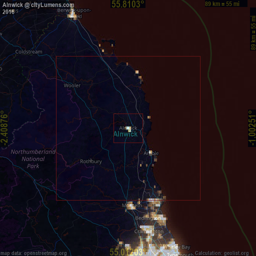
Analysis of Alnwick night lights 2016
Square area 10x10 km:
 0.6%
0.6%90-99
0.72%80-89
0.24%70-79
0.84%60-69
0%50-59
0%40-49
0.48%30-39
0%20-29
0%10-19
0%0-9
97.13%Square area 50x50 km:
0.03%90-99
0.1%80-89
0.04%70-79
0.08%60-69
0.03%50-59
0.07%40-49
0.19%30-39
0.12%20-29
0.1%10-19
0.43%0-9
98.81%Clear (daylight) street map image can be seen on geolist.org.
Map coordinates:
55° 48' 37.1" North, 2° 24' 31.5" West
55° 24' 47.4" North, 1° 42' 20.3" West
55° 0' 43.3" North, 1° 0' 9" West
Some cities around Alnwick sort by population:
• Blyth
34.2 km =21.3 mi,  158°
158°
• Cramlington
37.1 km =23.1 mi,  168°
168°
• Ashington
27.7 km =17.2 mi, 161°
• Bedlington
32.2 km =20 mi, 167°
• Morpeth
27.2 km =16.9 mi,  177°
177°
• Stakeford
29.2 km =18.1 mi, 163°
• Newbiggin-by-the-Sea
28.1 km =17.5 mi,  154°
154°
• Amble
11.8 km =7.3 mi,  138°
138°
2657438 (p: 8,116)
Sources (retrieved 2019-11-25):
» Earth at Night: Flat Maps 2012, 2016