Aconibe night lights from space
Night Light of Aconibe (Wele-Nzas) from space (Equatorial Guinea) Src. Average luminocity for 10x10km area is 3.2619% and for 50x50km: 0.3303%.
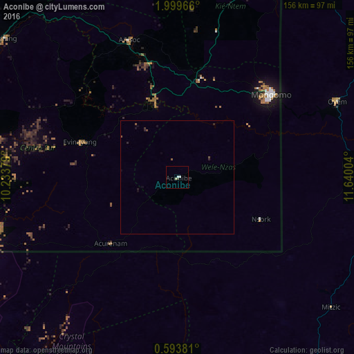
Analysis of Aconibe night lights 2016
Square area 10x10 km:
 1.08%
1.08%90-99
1.52%80-89
0%70-79
0%60-69
0%50-59
0%40-49
0.87%30-39
0%20-29
0%10-19
0%0-9
96.54%Square area 50x50 km:
0.04%90-99
0.06%80-89
0%70-79
0%60-69
0%50-59
0.11%40-49
0.1%30-39
0.03%20-29
0.17%10-19
0.16%0-9
99.33%Clear (daylight) street map image can be seen on geolist.org.
Map coordinates:
1° 59' 58.8" North, 10° 14' 1.6" East
1° 17' 48.6" North, 10° 56' 12.9" East
0° 35' 37.7" North, 11° 38' 24.1" East
Some cities around Aconibe sort by population:
• Oyem, GA
78.9 km =49 mi,  64°
64°
• Ebebiyin
104.8 km =65.1 mi,  24°
24°
• Bitam, GA
106.9 km =66.4 mi,  35°
35°
• Añisoc
66 km =41 mi,  343°
343°
• Ambam, CM
126.8 km =78.8 mi, 17°
• Evinayong
45.6 km =28.3 mi,  289°
289°
• Mongomo
55.7 km =34.6 mi,  48°
48°
• Mikomeseng
100 km =62.1 mi, 338°
2310547 (p: 11,192)
Sources (retrieved 2019-11-25):
» Earth at Night: Flat Maps 2012, 2016