Wattrelos night lights from space
Night Light of Wattrelos (Hauts-de-France) from space (France) Src. Average luminocity for 10x10km area is 85.2794% and for 50x50km: 44.8969%.
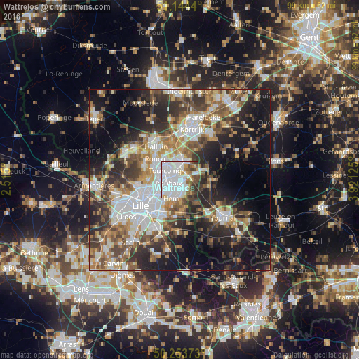
Analysis of Wattrelos night lights 2016
Square area 10x10 km:
 52.94%
90-99
15.78%80-89
3.48%70-79
3.34%60-69
4.81%50-59
5.08%40-49
7.35%30-39
5.08%20-29
2.14%10-19
0%0-9
0%Square area 50x50 km:
10.54%90-99
8.27%80-89
4.06%70-79
5.04%60-69
6.18%50-59
6.9%40-49
6.8%30-39
7.68%20-29
11.26%10-19
16.17%0-9
17.1%Clear (daylight) street map image can be seen on geolist.org.
Map coordinates:
51° 8' 39.8" North, 2° 30' 54" East
50° 42' 4.2" North, 3° 13' 5.2" East
50° 15' 13.4" North, 3° 55' 16.5" East
Some cities around Wattrelos sort by population:
• Roubaix
3.2 km =2 mi,  255°
255°
• Tourcoing
4.7 km =2.9 mi,  302°
302°
• Mouscron, BE
4.9 km =3 mi,  350°
350°
• Croix
5.5 km =3.4 mi,  242°
242°
• Hem
5.8 km =3.6 mi,  202°
202°
• Lys-lez-Lannoy
3.8 km =2.4 mi,  181°
181°
• Leers
2.8 km =1.7 mi,  138°
138°
• Estaimpuis, BE
3.5 km =2.2 mi,  83°
83°
2967421 (p: 42,826)
Sources (retrieved 2019-11-25):
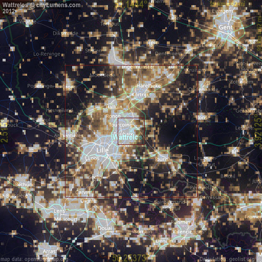
» Earth at Night: Flat Maps 2012, 2016