Tourcoing night lights from space
Night Light of Tourcoing (Hauts-de-France) from space (France) Src. Average luminocity for 10x10km area is 94.9118% and for 50x50km: 46.2648%.
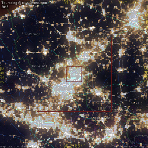
Analysis of Tourcoing night lights 2016
Square area 10x10 km:
 61.1%
61.1%90-99
18.98%80-89
8.02%70-79
8.29%60-69
3.61%50-59
0%40-49
0%30-39
0%20-29
0%10-19
0%0-9
0%Square area 50x50 km:
10.8%90-99
8.68%80-89
4.18%70-79
5.16%60-69
6.47%50-59
7.16%40-49
7.05%30-39
7.94%20-29
12.53%10-19
14.46%0-9
15.58%Clear (daylight) street map image can be seen on geolist.org.
Map coordinates:
51° 10' 0.9" North, 2° 27' 29" East
50° 43' 26.1" North, 3° 9' 40.2" East
50° 16' 36" North, 3° 51' 51.5" East
Some cities around Tourcoing sort by population:
• Roubaix
3.4 km =2.1 mi,  164°
164°
• Mouscron, BE
4 km =2.5 mi,  53°
53°
• Wattrelos
4.7 km =2.9 mi,  122°
122°
• Croix
5.1 km =3.2 mi,  189°
189°
• Roncq
4.3 km =2.7 mi,  319°
319°
• Mouvaux
3.3 km =2.1 mi,  214°
214°
• Bondues
5.3 km =3.3 mi,  242°
242°
• Neuville-en-Ferrain
2.7 km =1.7 mi,  353°
353°
2972284 (p: 91,574)
Sources (retrieved 2019-11-25):
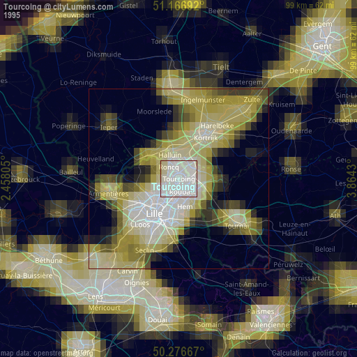
» NASA, Earths city lights 1995
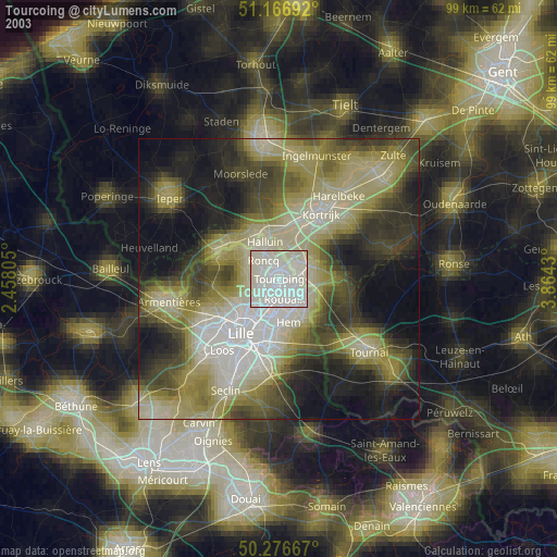
» NASA city lights 2003
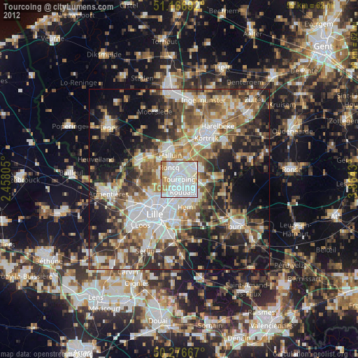
» Earth at Night: Flat Maps 2012, 2016